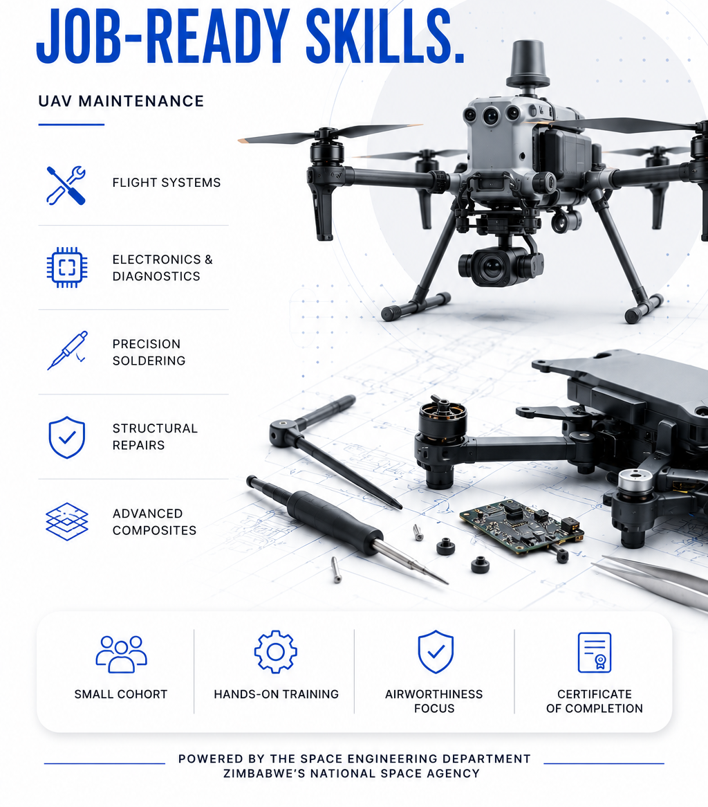
Two weeks. Real drones. Job-ready UAV maintenance skills.
Master flight systems, electronics diagnostics, soldering, structural repairs, and composites on professional-grade UAVs — with an airworthiness focus.
ZINGSA
The home of space science and geospatial innovation.
Training courses
Practical courses from ZINGSA’s Space Engineering Department — robotics, UAV maintenance, CNC machining, and more. Each course has a dedicated profile with duration, outcomes, and enrolment details.
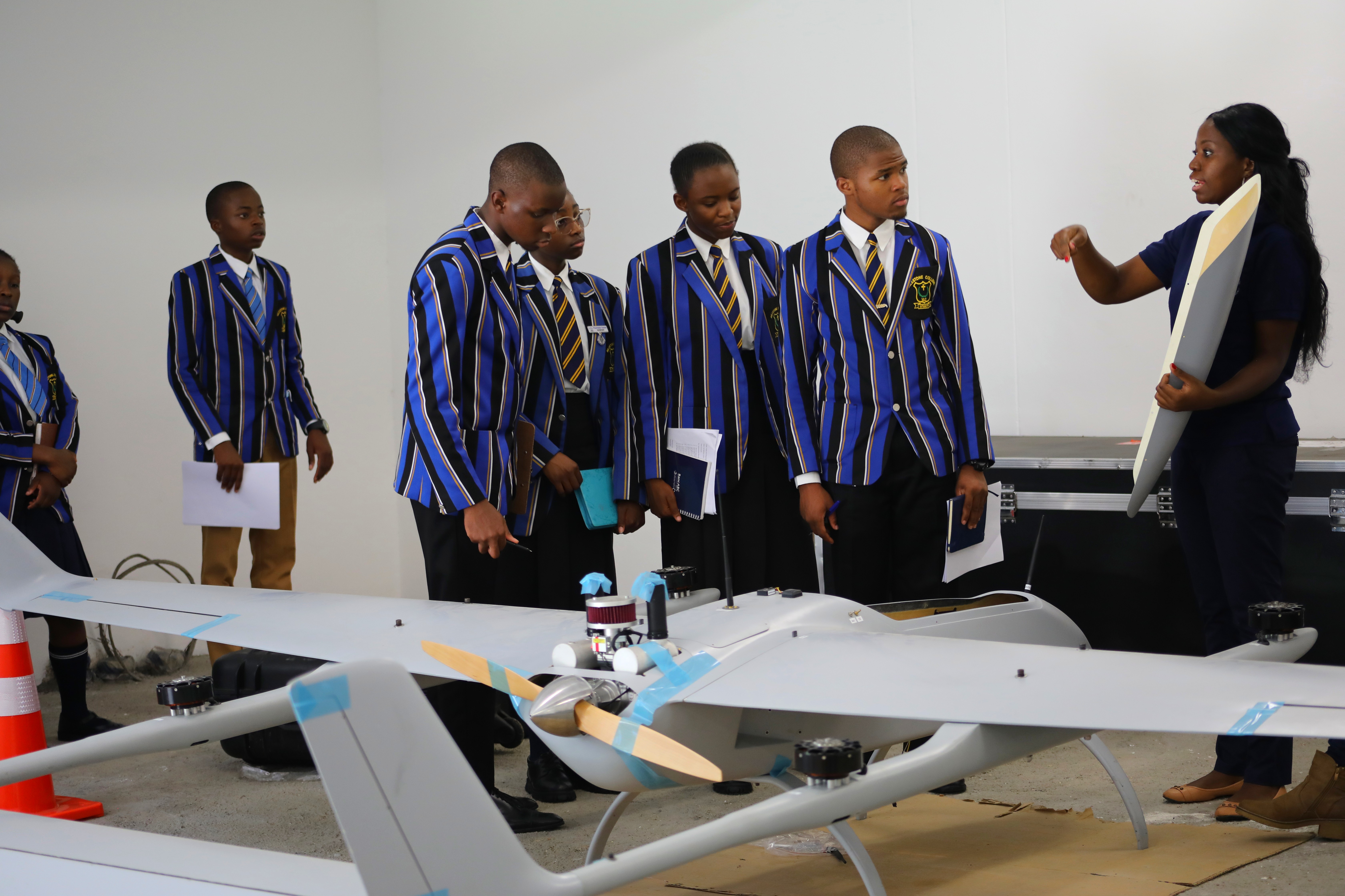
Two weeks. Real drones. Job-ready UAV maintenance skills.
Master flight systems, electronics diagnostics, soldering, structural repairs, and composites on professional-grade UAVs — with an airworthiness focus.
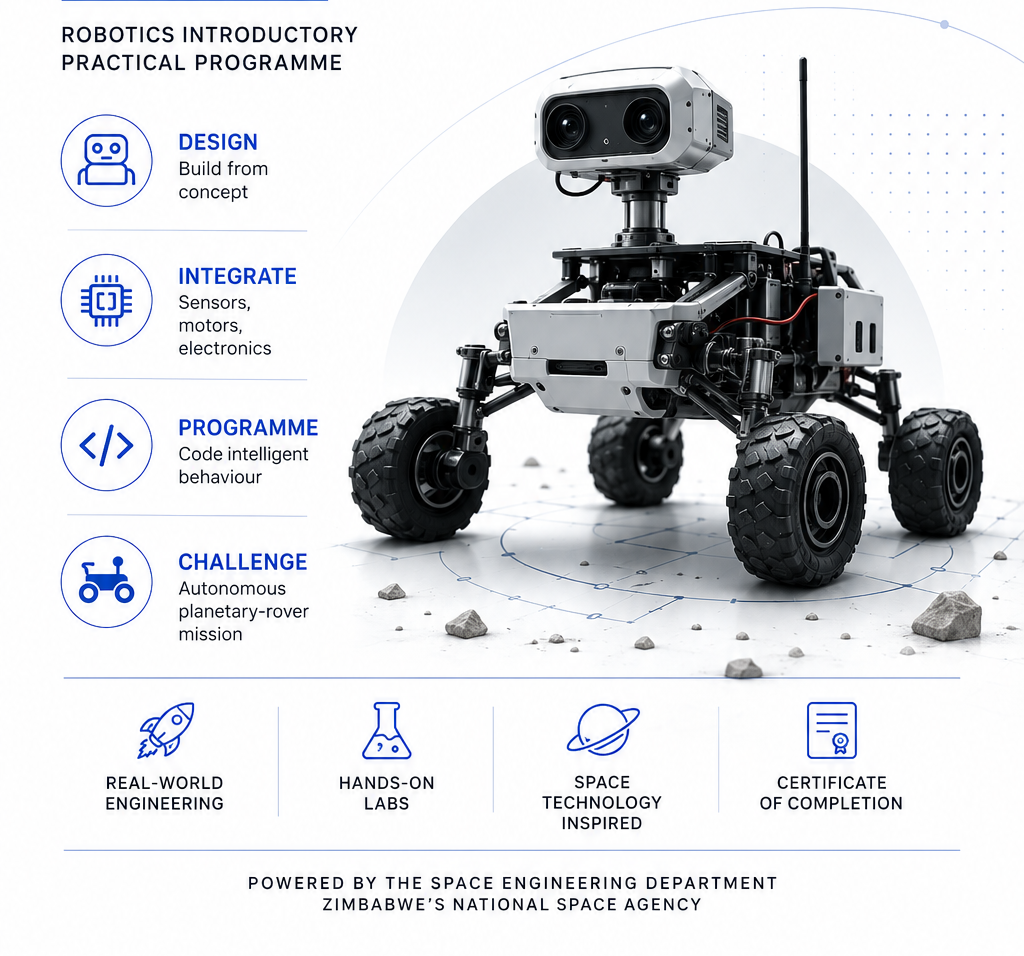
Three weeks. Real robots. Practical autonomy.
Design, wire and programme a mobile robot, integrate sensors and motors, and complete an autonomous planetary-rover challenge.
Two weeks. Real machines. Job-ready CNC skills.
Master CAD/CAM and cut real metal on a live 4-axis CNC machining centre — from technical drawing to finished, inspected component.
The full story
From the mandate that created ZINGSA to the satellites, drones, and people carrying it forward — a single continuous story.
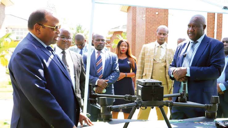
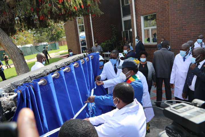
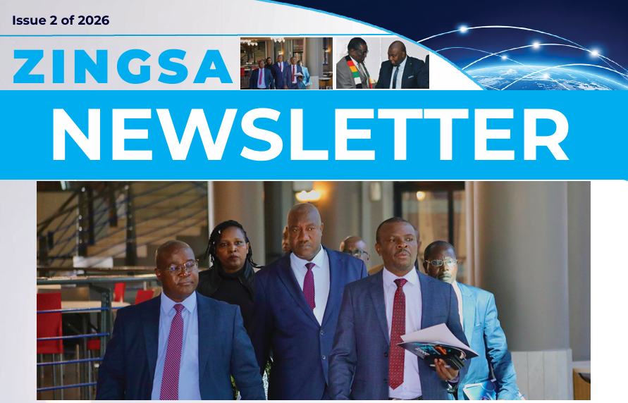
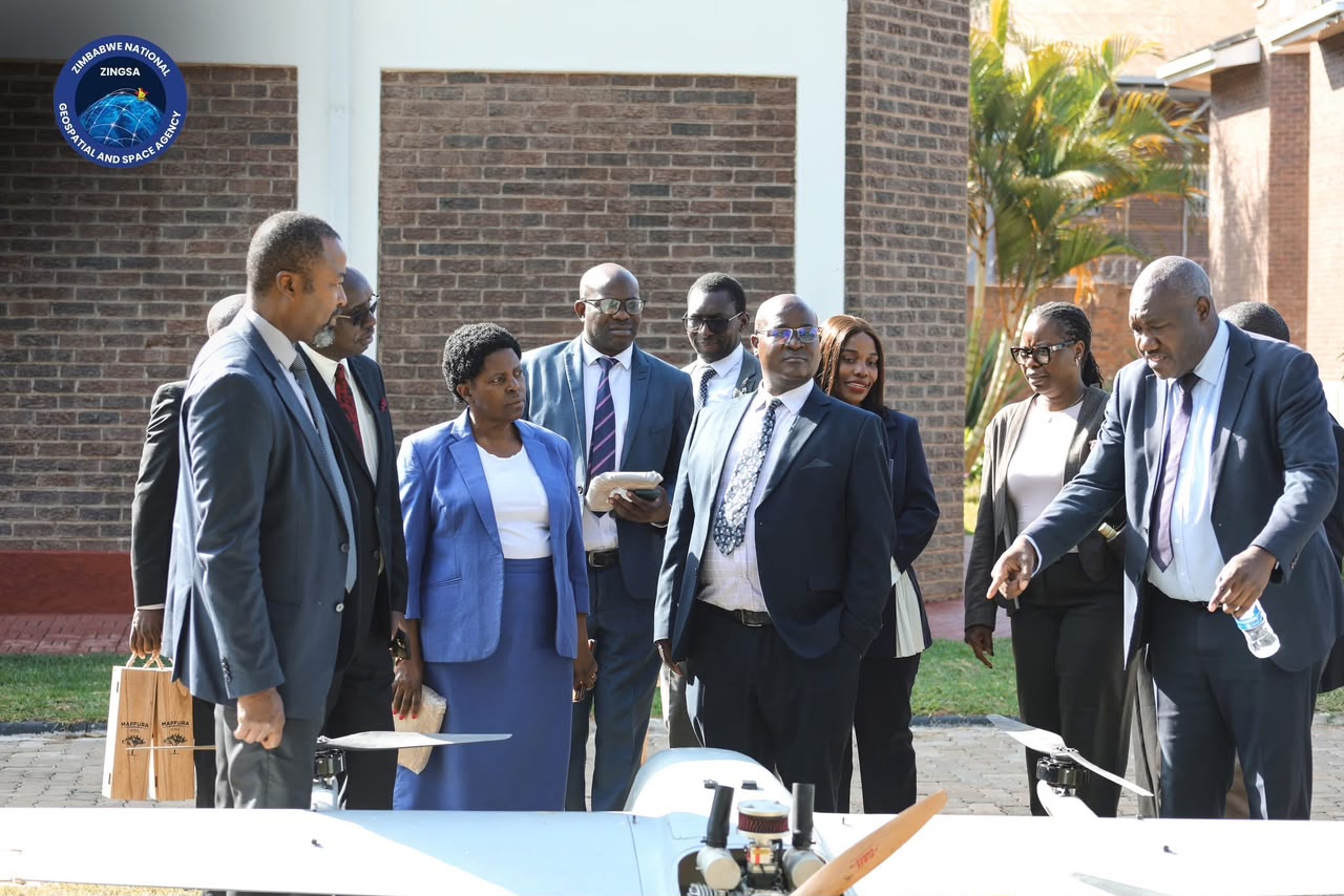
Government leadership engaging directly with ZINGSA’s drone technology — the mandate made visible.
Read our mandate →
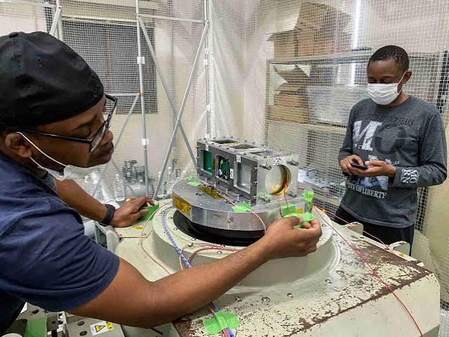
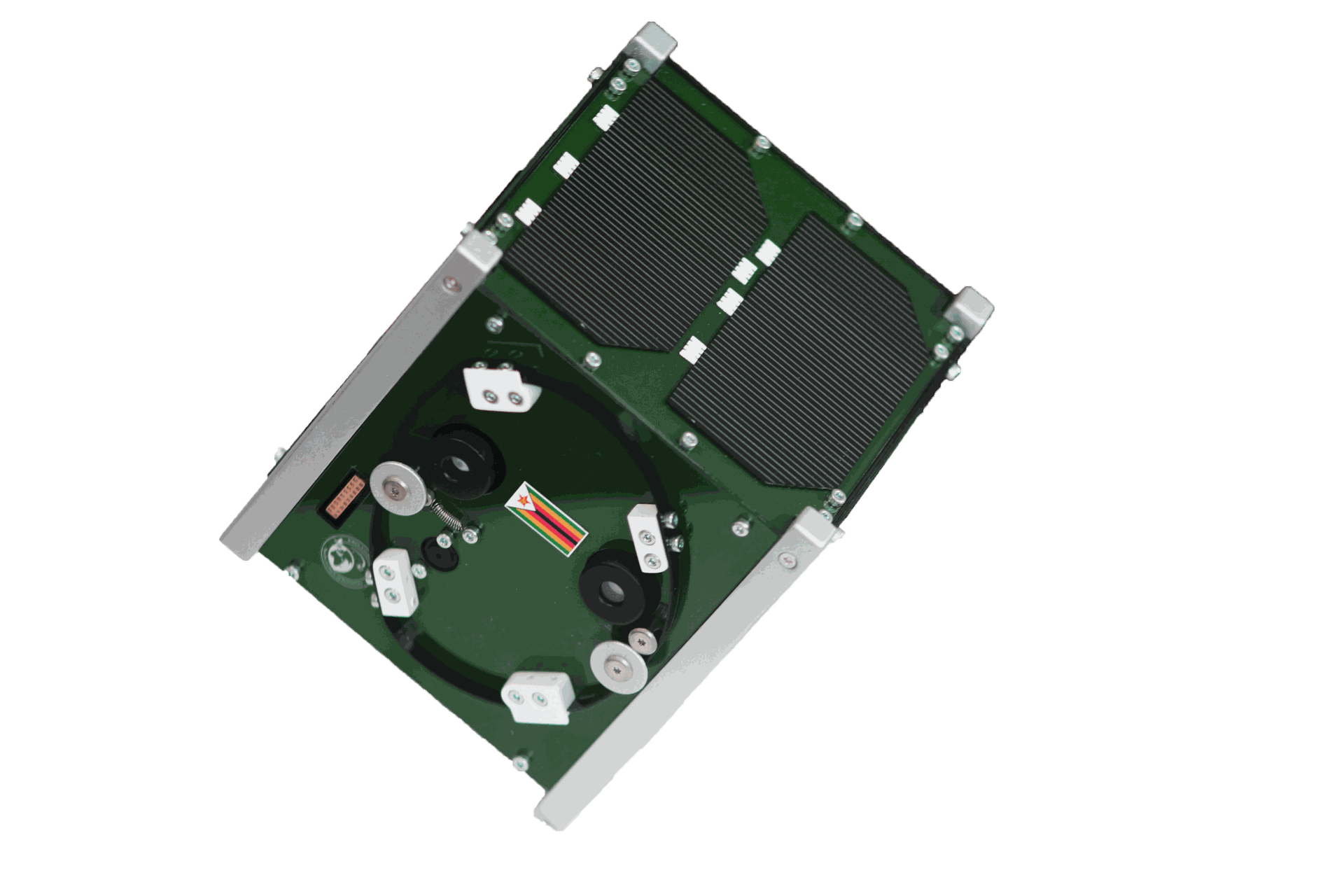
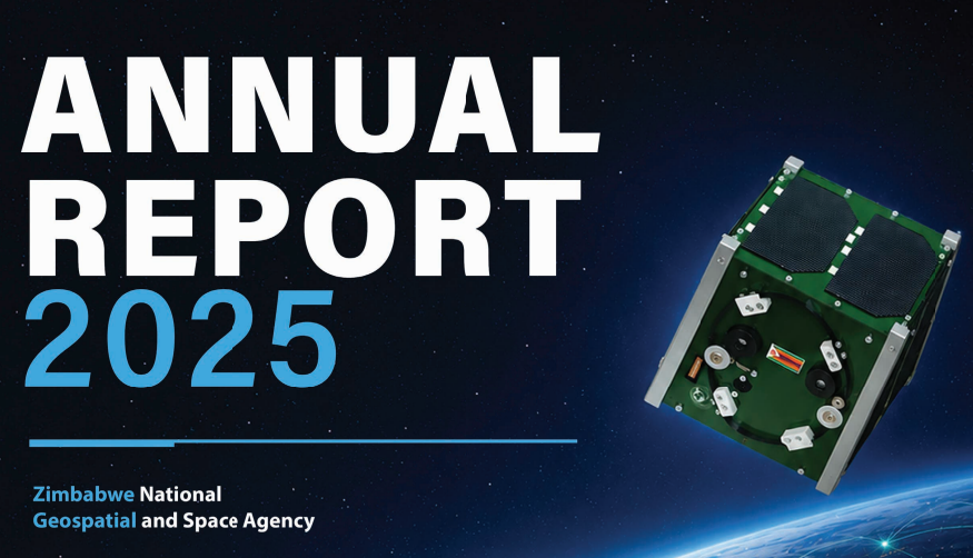
Cleanroom by cleanroom, our engineers assemble the satellite hardware that carries the mission into orbit.
CubeSat programme →
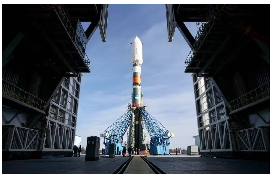
A ZIMSAT-class launch vehicle lifts Zimbabwe’s own eyes into space.
ZIMSAT-2 details →
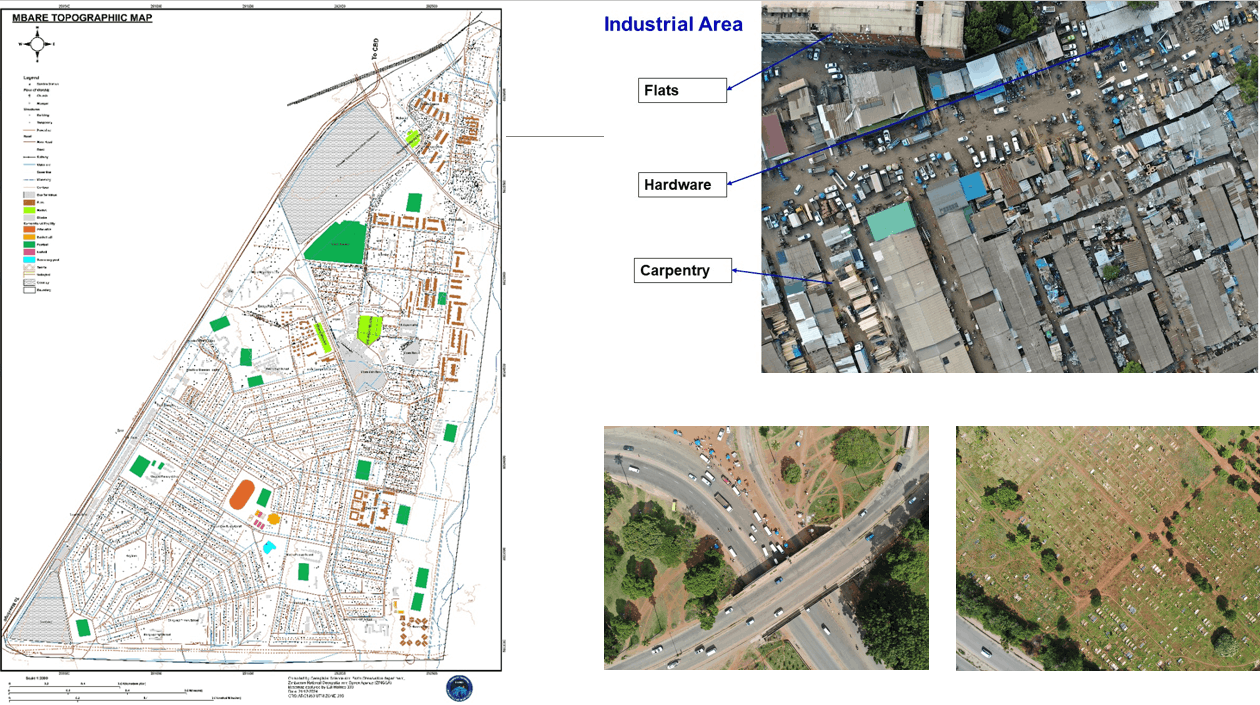
Earth observation feeds topographic mapping and national planning, from Mbare to the whole country.
NSDI framework →
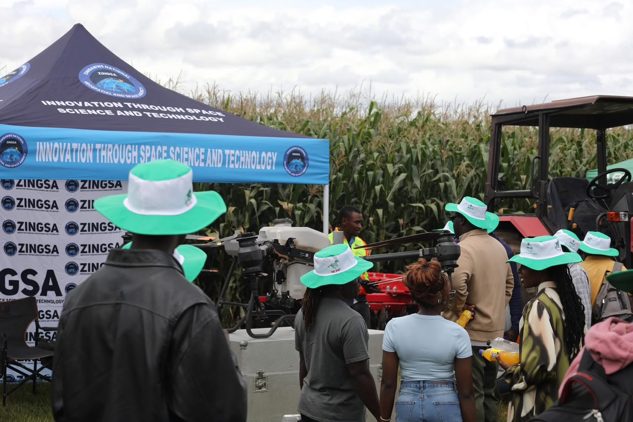
GPS-guided drone spraying puts that same space-derived intelligence to work for farmers.
Book drone spraying →
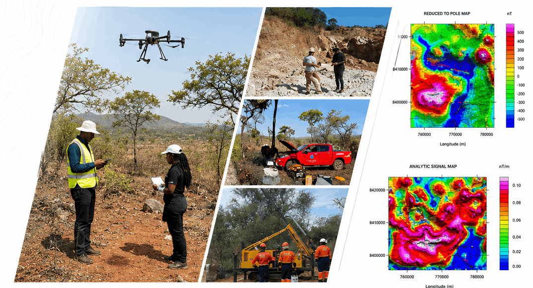
From geological mapping to core analysis, geospatial data guides every stage of mineral exploration.
Stages of exploration →
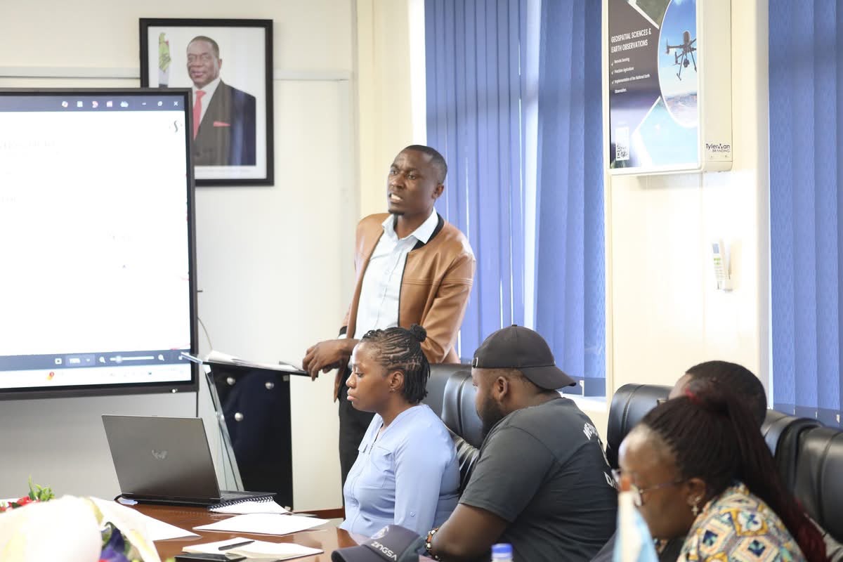
Space Engineering and GIS courses — from drone training and CNC machining to CubeSat development — build Zimbabwe’s space workforce.
Human capital development →The Client Service Charter turns that journey into a commitment — the standard every Zimbabwean can expect.
Service charter →Our mandate
ZINGSA is a wholly government-owned entity established under the Research Act [Chapter 10:22] and officially launched by His Excellency President Emmerson Mnangagwa in 2021.
We promote the peaceful use of space and apply geospatial and space technologies to support national development, industrialization, and informed decision-making across the country.
Partnerships
Government agencies, universities, and industry partners working with ZINGSA to advance space and geospatial capability.
News & Events
From international training and CubeSat milestones to board governance, compliance, farmer outreach, and national exhibitions — see what ZINGSA has been doing lately.

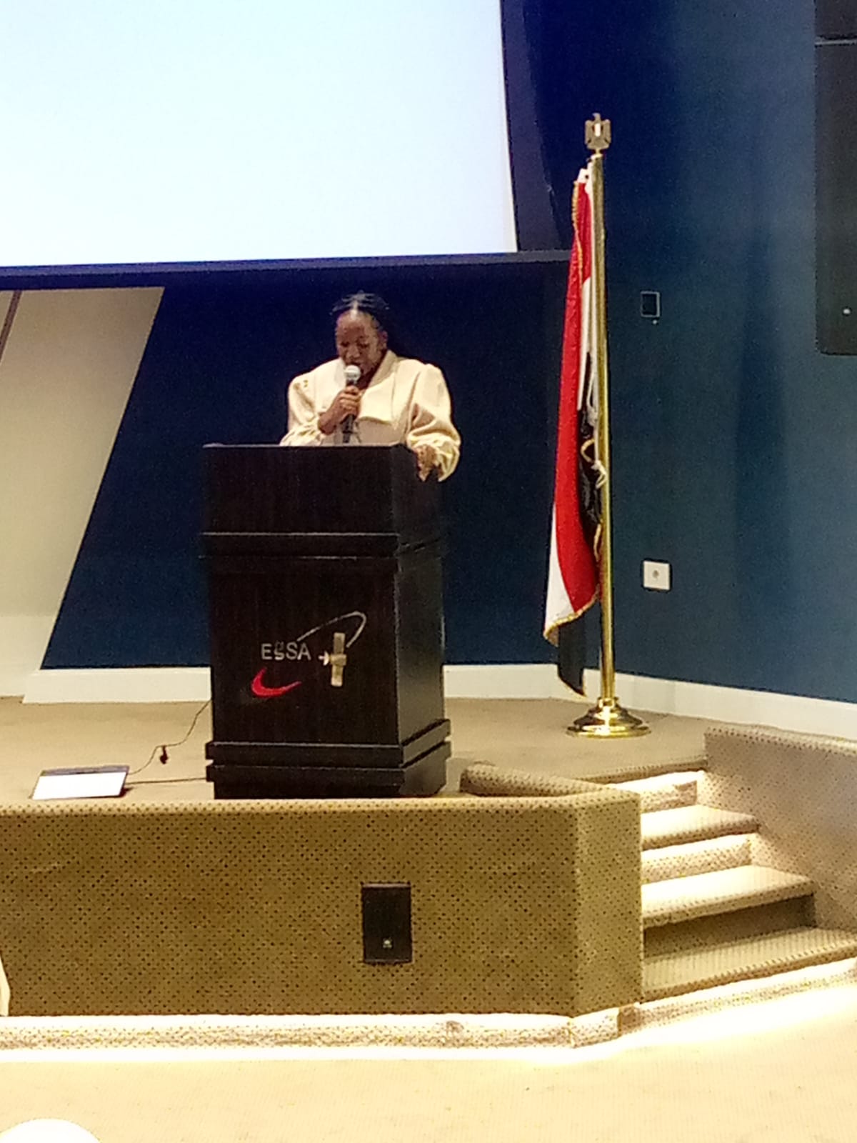
Selected to address participants at the Egyptian Space Agency satellite systems course.

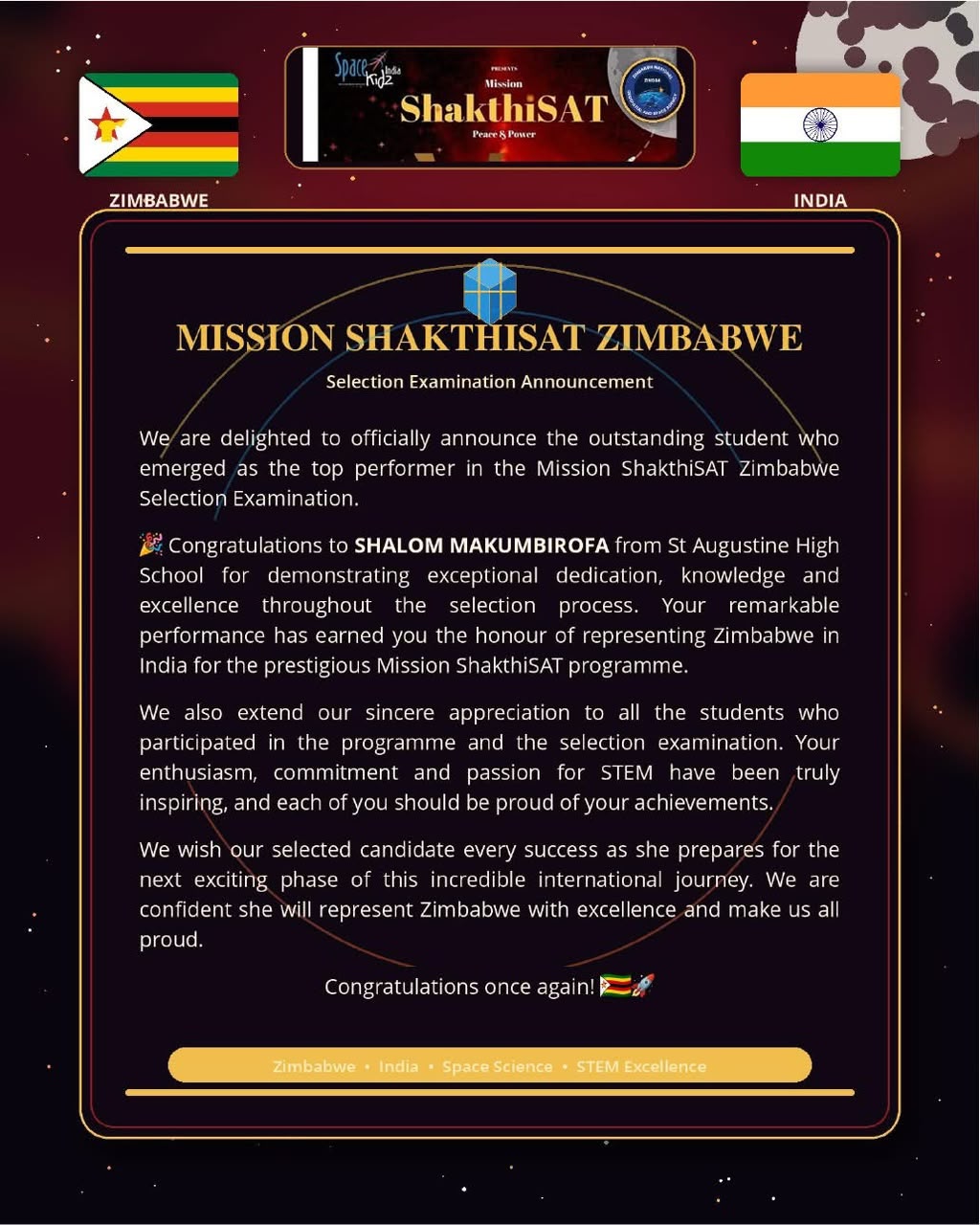
Shalom Makumbirofa represents Zimbabwe in India’s CubeSat development programme.

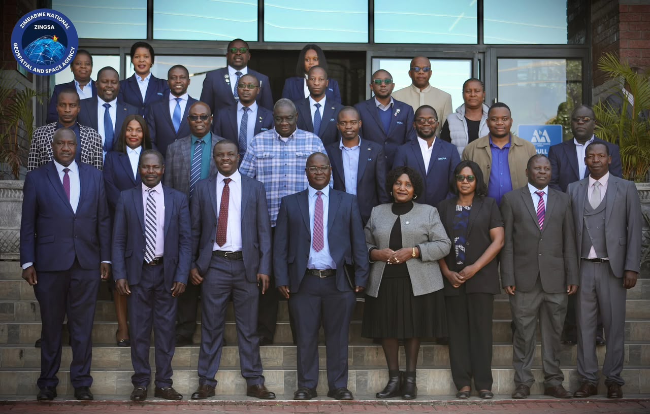
Board and senior managers inducted for strategic oversight and governance.

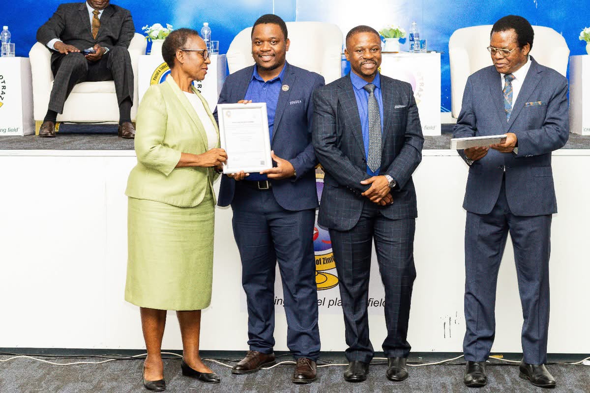
POTRAZ certification recognising responsible data handling standards.

Precision agriculture demonstrations connecting innovation with communities.
Satellite models, CORS demos, and precision-agriculture services on display.
In orbit
From ZIMSAT-1 to ZIMSAT-2, our missions bring drought monitoring, crop health, mining insight, and weather intelligence home.
November 2022
Zimbabwe’s first satellite — monitoring drought, mapping mining activity, assessing crop health, and supporting accurate weather forecasts for the nation.
ZIMSAT-1 details
Next generation
Building on ZIMSAT-1, Zimbabwe’s second satellite mission expands national capability in space technology and Earth observation.
ZIMSAT-2 detailsNational impact
Geospatial intelligence shaping agriculture, wetlands, positioning infrastructure, and disaster response.
See how Earth observation serves farming, wetlands, disasters, mining, and national planning.
Book GPS-guided crop spraying and field support — precision services that help farmers protect yields.
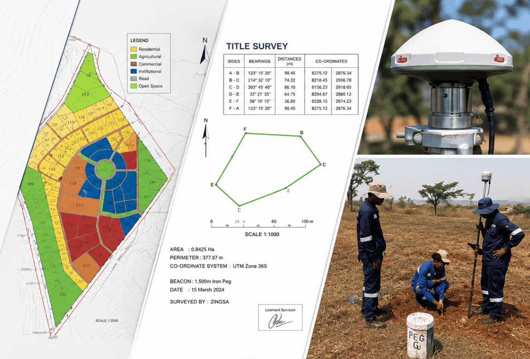
Title surveys, topographic mapping, LiDAR, mining, aerial, and GNSS positioning — accurate data for every sector.
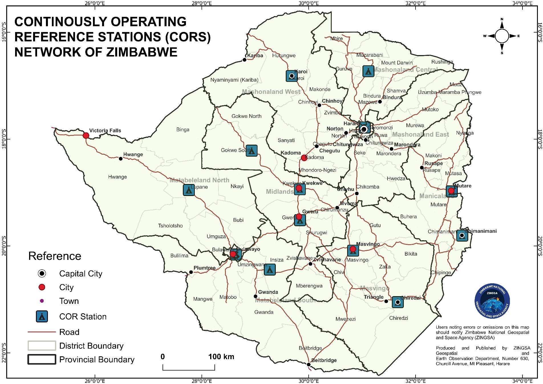
Continuously Operating Reference Stations delivering accurate real-time positioning nationwide.
An established board, Data Controller Licence, and CAAZ and regulatory approvals ensuring lawful, trusted operations.
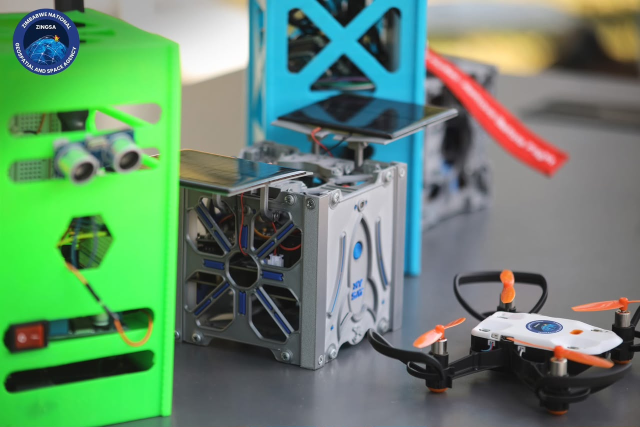
Space Engineering and GIS courses — drone training, CNC machining, 3D printing, and CubeSat development — growing Zimbabwe’s space workforce.
Ionospheric monitoring and GNSS research protecting positioning and communications over Zimbabwe.
How we work
Specialised teams delivering engineering, observation, operations, science, and organisational excellence.
Human capital development
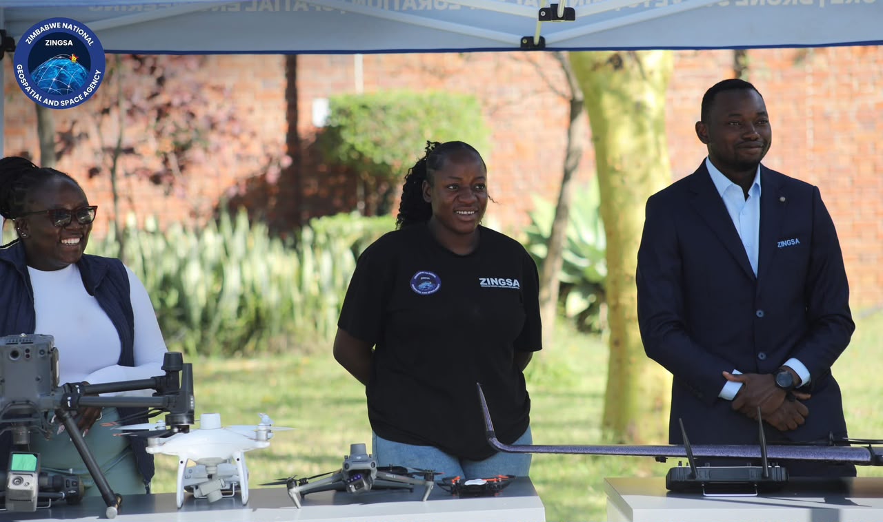
ZINGSA’s courses in Space Engineering and GIS equip engineers, analysts, and pilots with hands-on skills — from UAV maintenance and robotics to CNC machining, CubeSat development, and geospatial mapping.
2-week intensive: flight systems, diagnostics, repairs, and airworthiness.
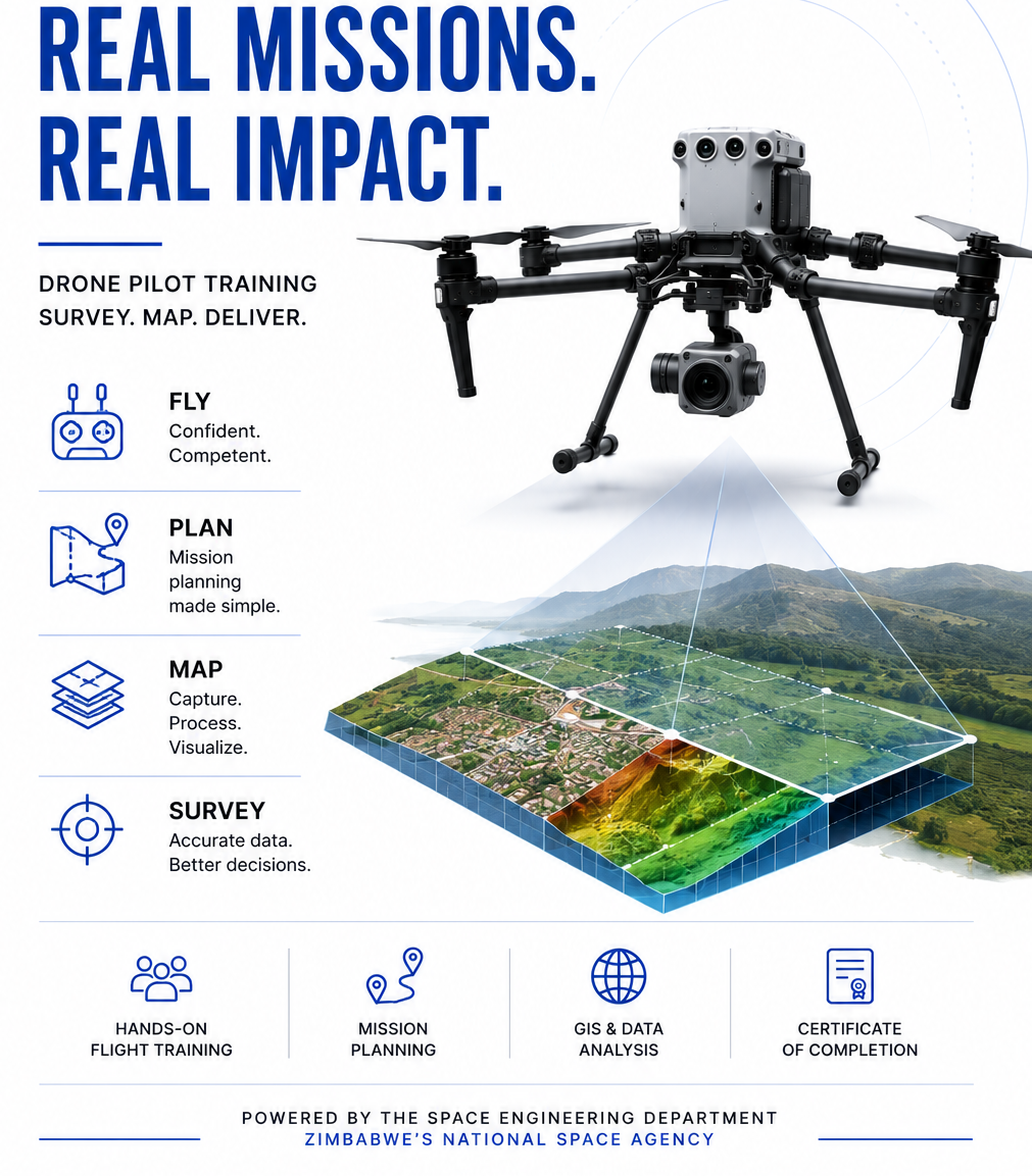
3-week practical: design, programme and complete a planetary-rover challenge.
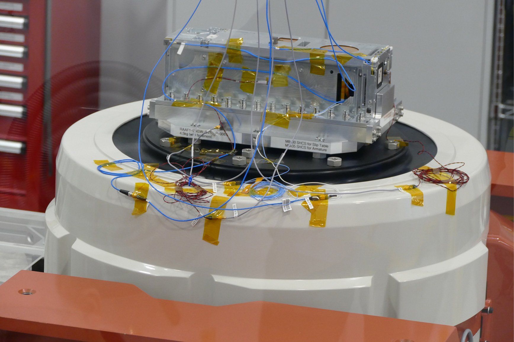
2-week intensive: CAD/CAM, 4-axis VMC, job-ready skills.

Small-satellite design, assembly, and testing.

Certified UAV operations and precision field work.

Space Engineering and GIS programmes — more courses added as published.
Programs
Public outreach
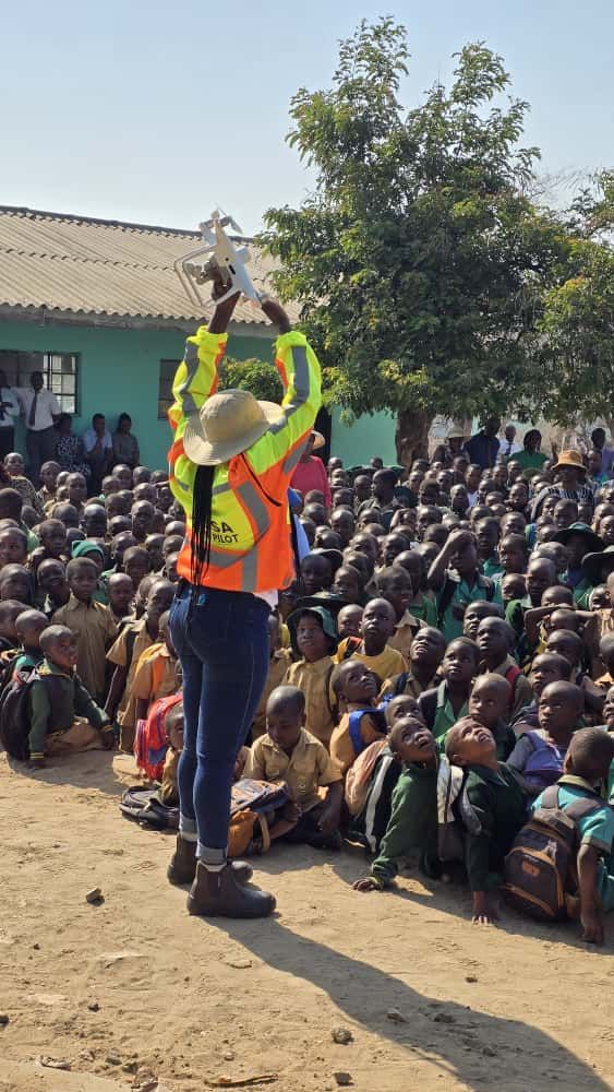
From World Space Week to ZITF and school programmes, ZINGSA brings drones, satellites, and STEM careers to students and the public across Zimbabwe.
Work with us
Partnerships, service bookings, and human capital development — we are building capability for the nation.