Programs
CORS Network
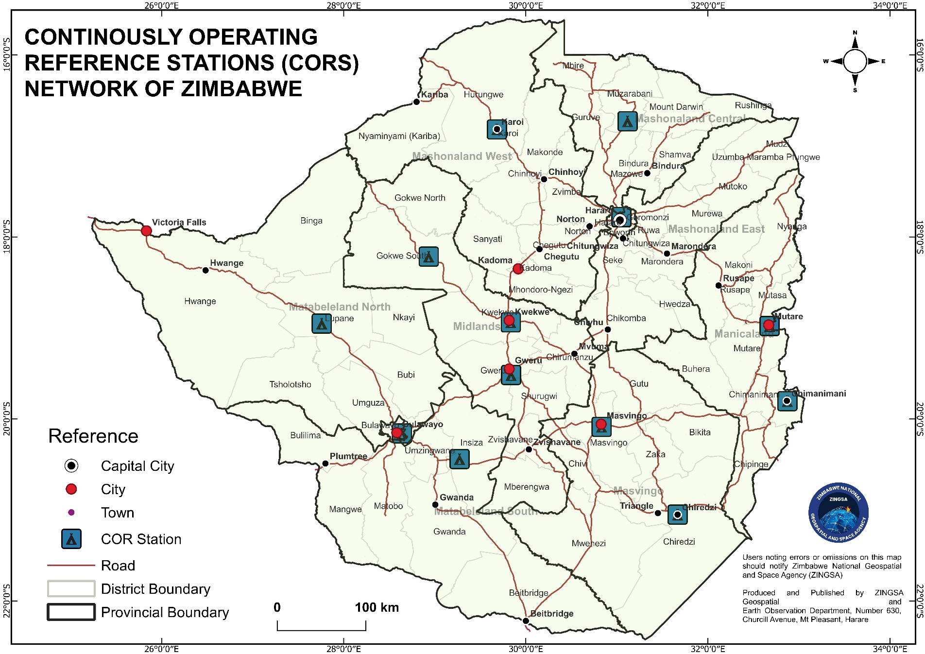
Continuously Operating Reference Stations delivering accurate real-time GNSS positioning for surveying, precision agriculture, research, and infrastructure.
Free trial announcement
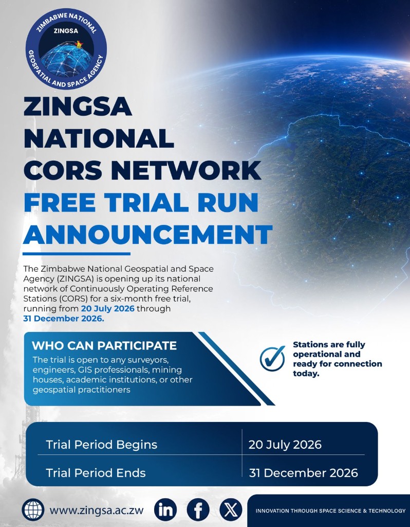
National CORS Network free trial run
ZINGSA is opening its national Continuously Operating Reference Stations for a six-month free trial. Stations are fully operational and ready for connection today.
National infrastructure
Positioning Zimbabwe with precision
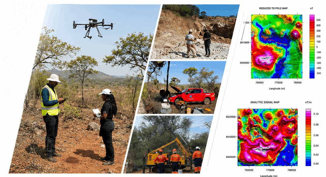
The ZINGSACORS Network provides a foundational layer of geospatial accuracy — supporting land administration, construction, mining, agriculture, and scientific monitoring across the country.
Accurate real-time reference for cadastral, engineering, and geodetic surveys.
Precision agriculture workflows that depend on reliable GNSS correction.
Geophysical and ionospheric studies supported by continuous GNSS observations.
Reference data for roads, mining, and orderly urban development.