Services
Survey services
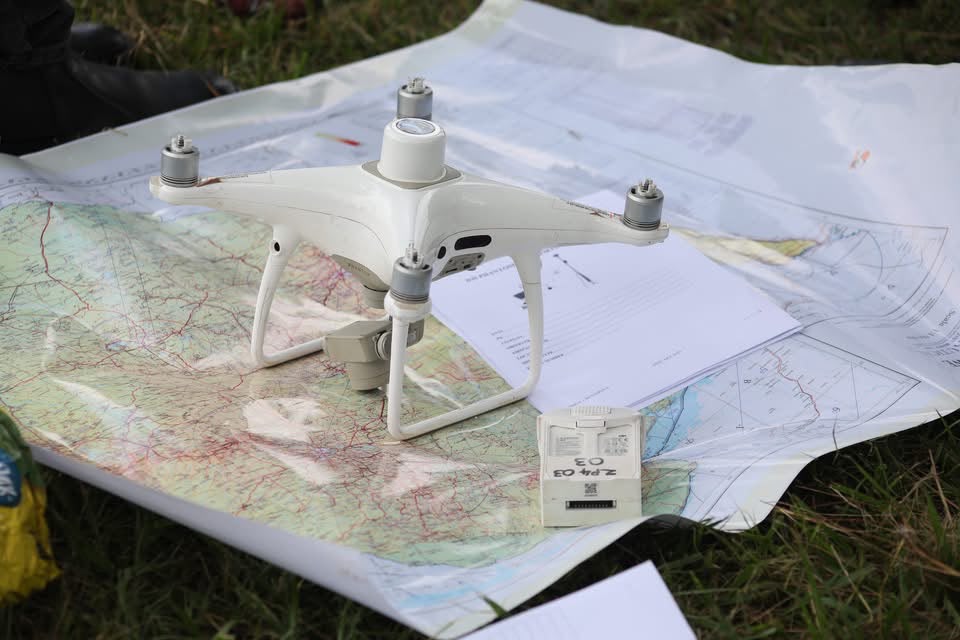
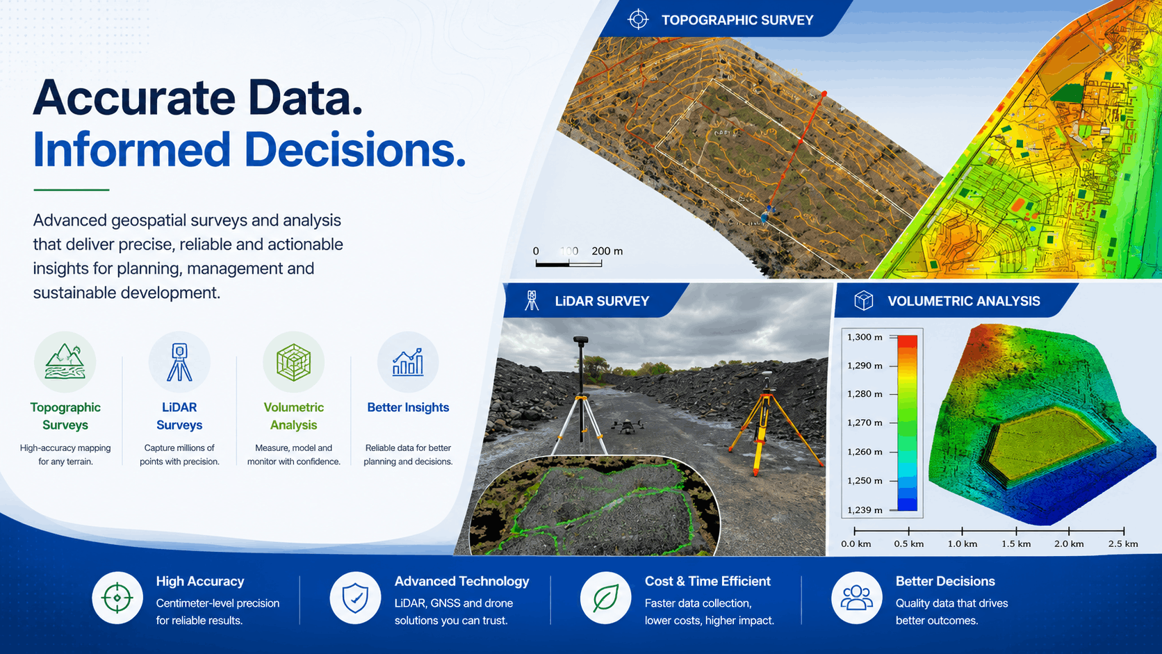
Accurate data. Informed decisions. CORS-backed geospatial surveys for land, mining, infrastructure, and development across Zimbabwe.
Precision positioning
Every survey type, one national capability
From title deeds and cadastral boundaries to topographic mapping, LiDAR capture, volumetric analysis, and mineral exploration — ZINGSA delivers survey-grade data backed by the national CORS network and certified field teams.
Choose a survey
Dedicated pages for every survey type
Select a service below to see capabilities, imagery, and how to book.
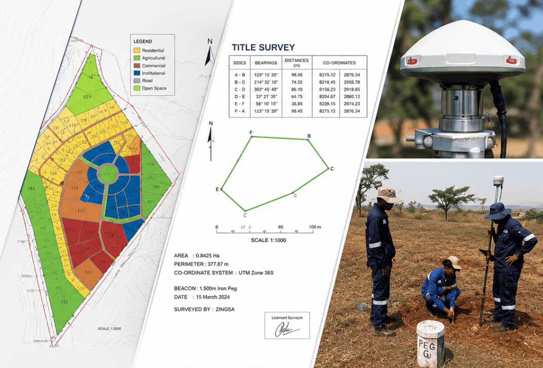
Title surveys
Boundary surveys for property registration, title deeds, and land transfers.
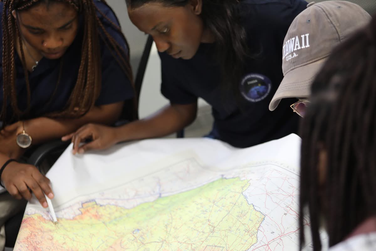
Cadastral surveys
Parcel mapping and boundary records for land administration and NSDI.
Topographic surveys
Contour mapping and terrain models for planning on any terrain.
LiDAR surveys
Dense point-cloud capture for 3D terrain and infrastructure mapping.
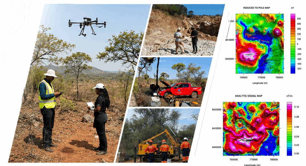
Volumetric analysis
Stockpile, excavation, and cut-and-fill measurement for mining and construction.
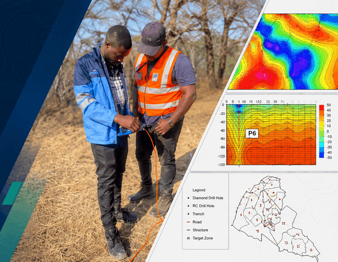
Mining & mineral surveys
Exploration, drilling coordinates, and compliance mapping.
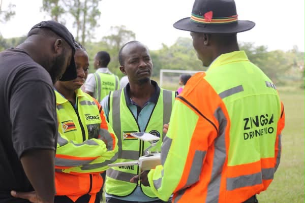
Aerial & drone surveys
Orthomosaics and survey-grade mapping from certified UAV pilots.
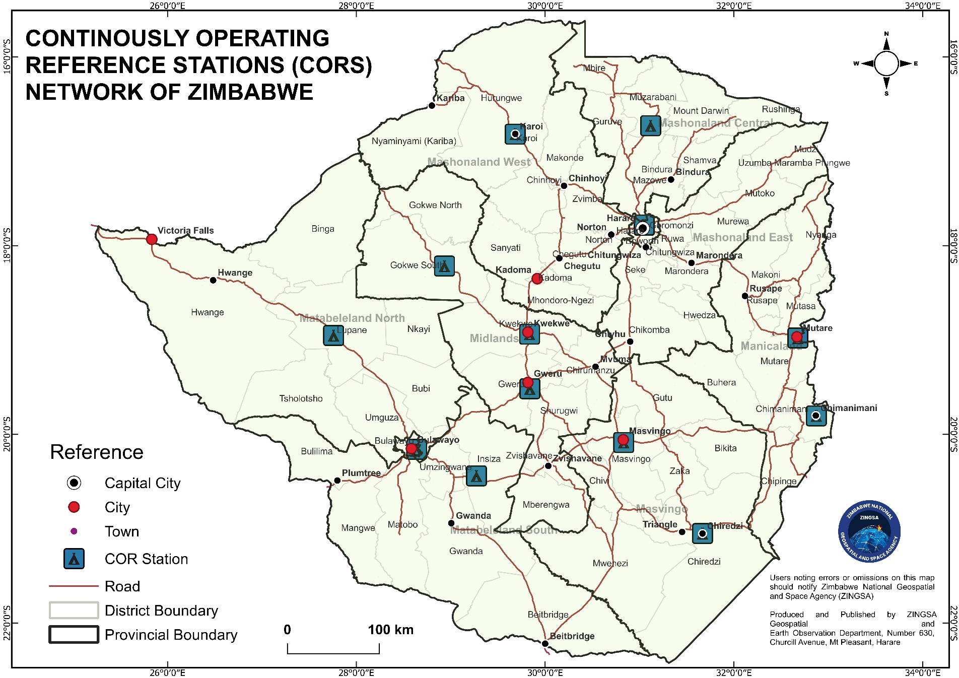
GNSS & geodetic surveys
CORS-backed real-time positioning for every field survey crew.
