Surveys
Mining & Mineral Surveys
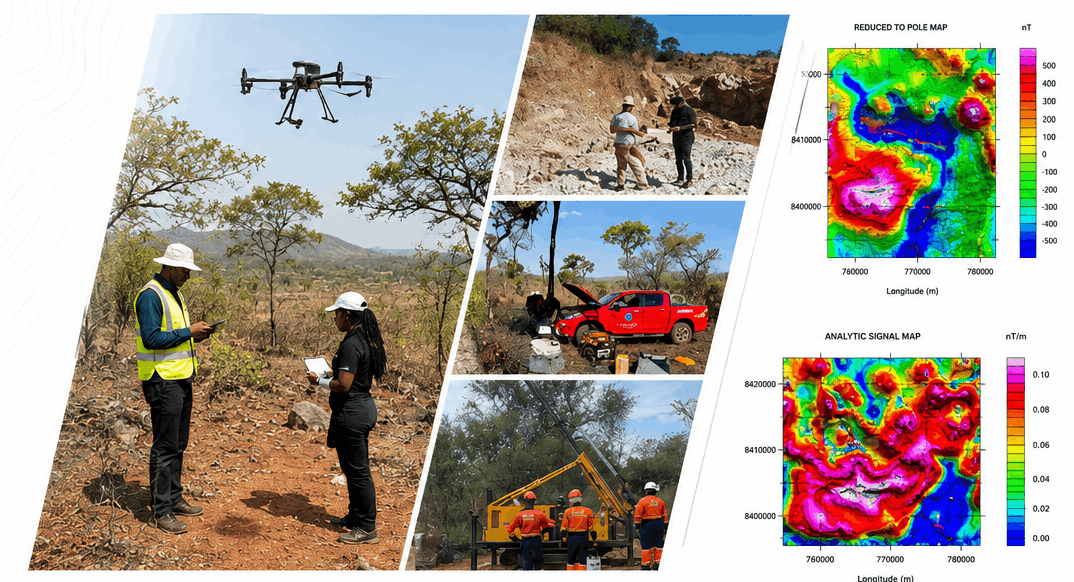
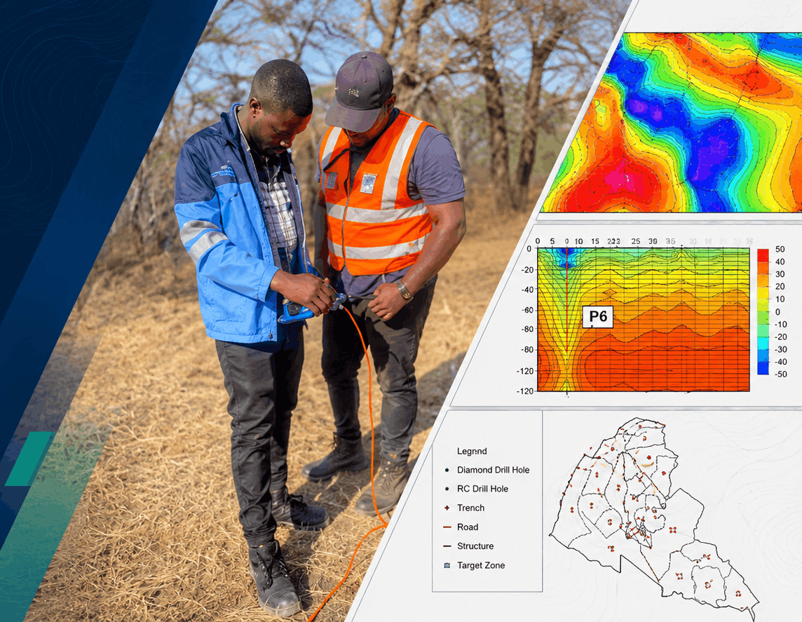
From remote sensing and target mapping to exploratory drilling coordinates — ZINGSA survey capability supports mineral exploration and mi...
Mineral exploration
Survey support for every stage of exploration
From remote sensing and target mapping to exploratory drilling coordinates — ZINGSA survey capability supports mineral exploration and mining operations nationwide.
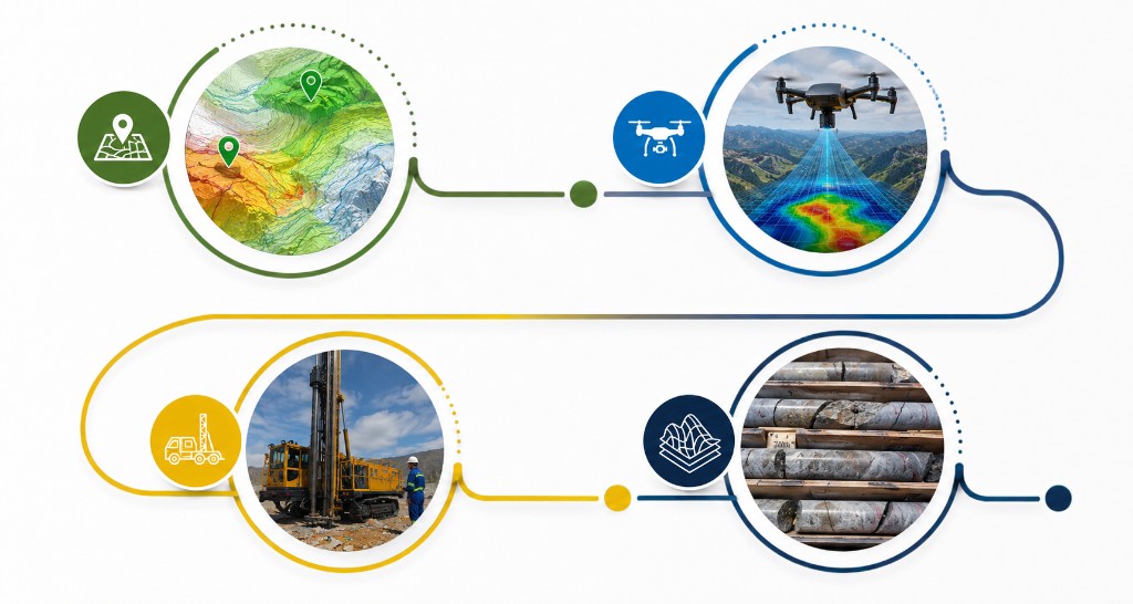
Exploration drillingPrecise GNSS coordinates for drill collar placement.
Activity mappingMonitor land use and operations from space and the field.
Environmental complianceGeospatial data for regulatory and rehabilitation planning.