Ionospheric maps
Building regional ionospheric maps for Zimbabwe using GNSS observations and modelling techniques.
Space Science
Understanding how the Sun and near-Earth space environment affect technology over Zimbabwe — from GNSS positioning to communications and research.
Why it matters
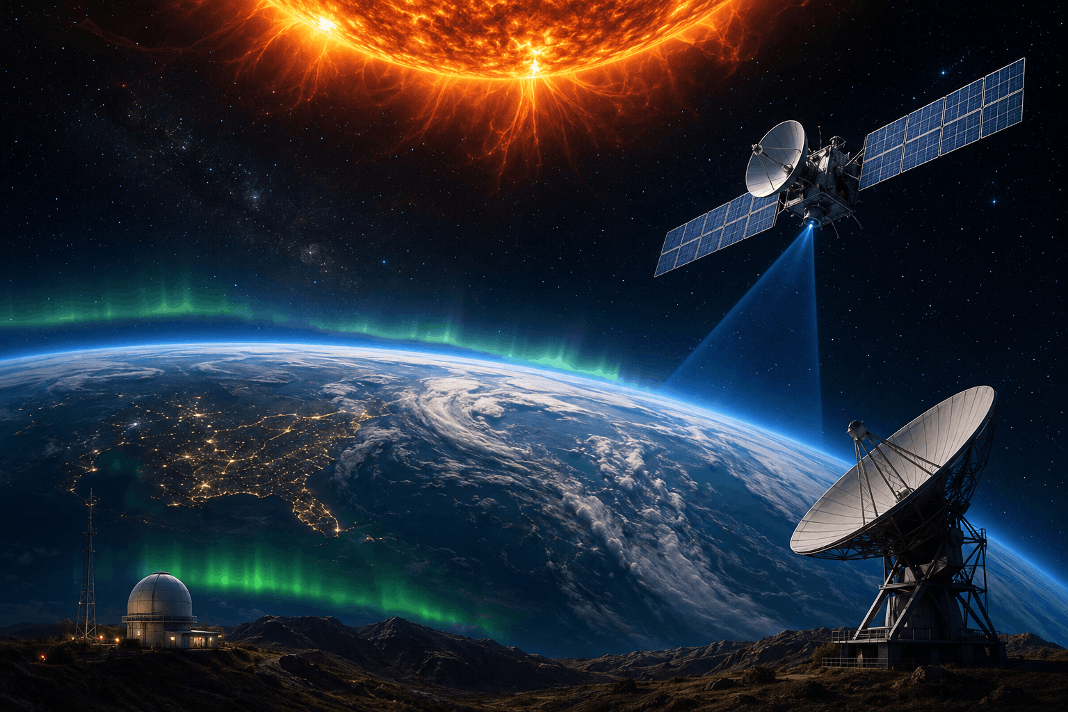
Space weather describes conditions in the Sun–Earth system that can disturb radio signals, satellite operations, and precision positioning. For a nation investing in GNSS, satellites, and digital infrastructure, understanding those conditions is a practical necessity.
ZINGSA’s Space Science division champions research on space environments — including space weather monitoring and forecasting that supports technology users across the country.
Observation
GNSS techniques help map the ionosphere over Zimbabwe, study scintillation, and assess how ionospheric variability affects positioning accuracy.
Building regional ionospheric maps for Zimbabwe using GNSS observations and modelling techniques.
Investigating signal scintillation that can degrade GNSS performance for surveying, aviation, and precision agriculture.
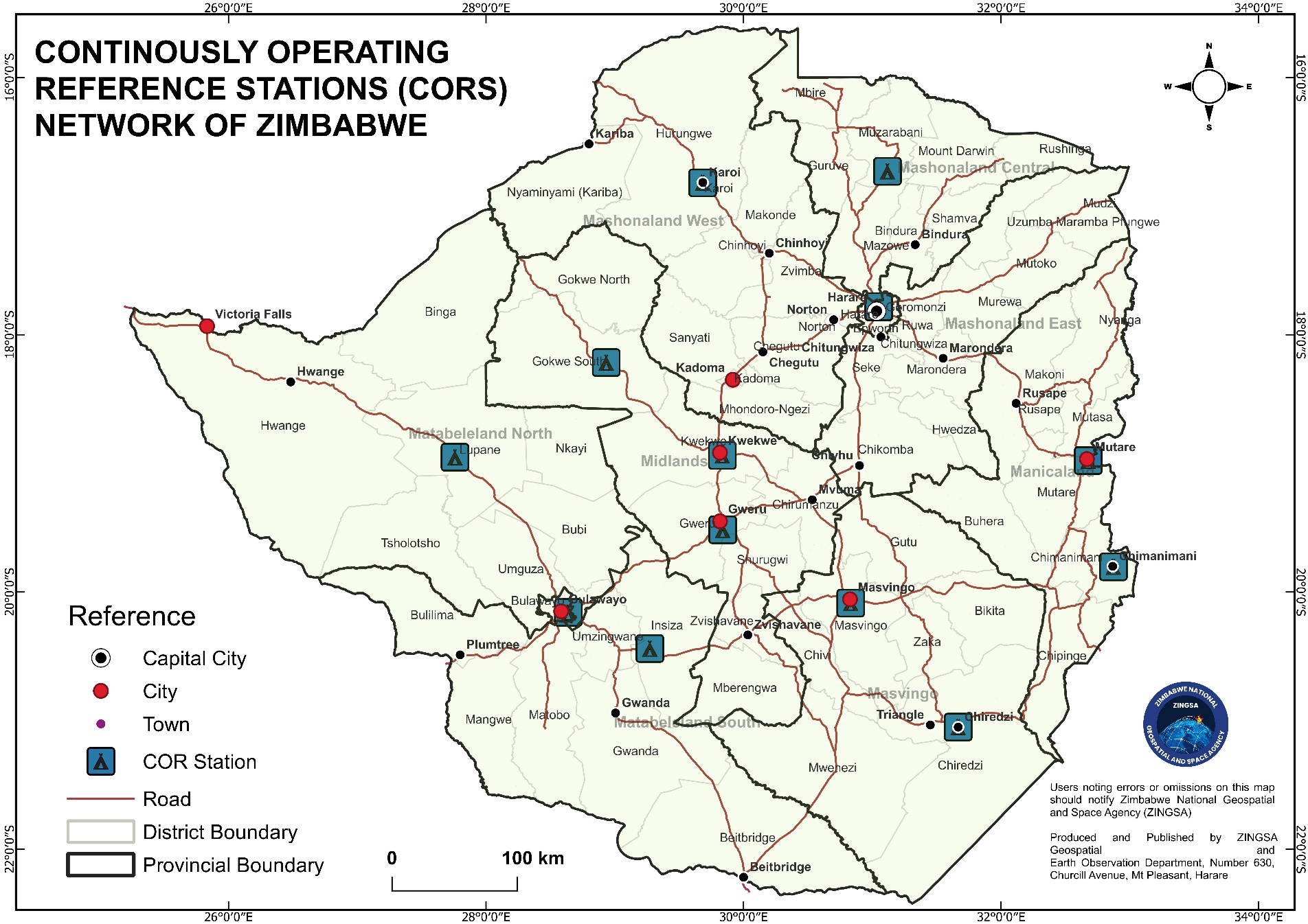
Continuously Operating Reference Stations provide GNSS data streams that support both positioning services and ionospheric research.
Infrastructure
ZINGSA’s CORS network delivers accurate real-time positioning nationwide. The same GNSS foundation enables integration of Zimbabwean data into ionospheric models and assessment of space-weather impacts on users.
Capability