Flight planning
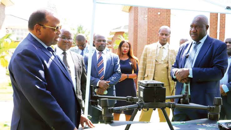
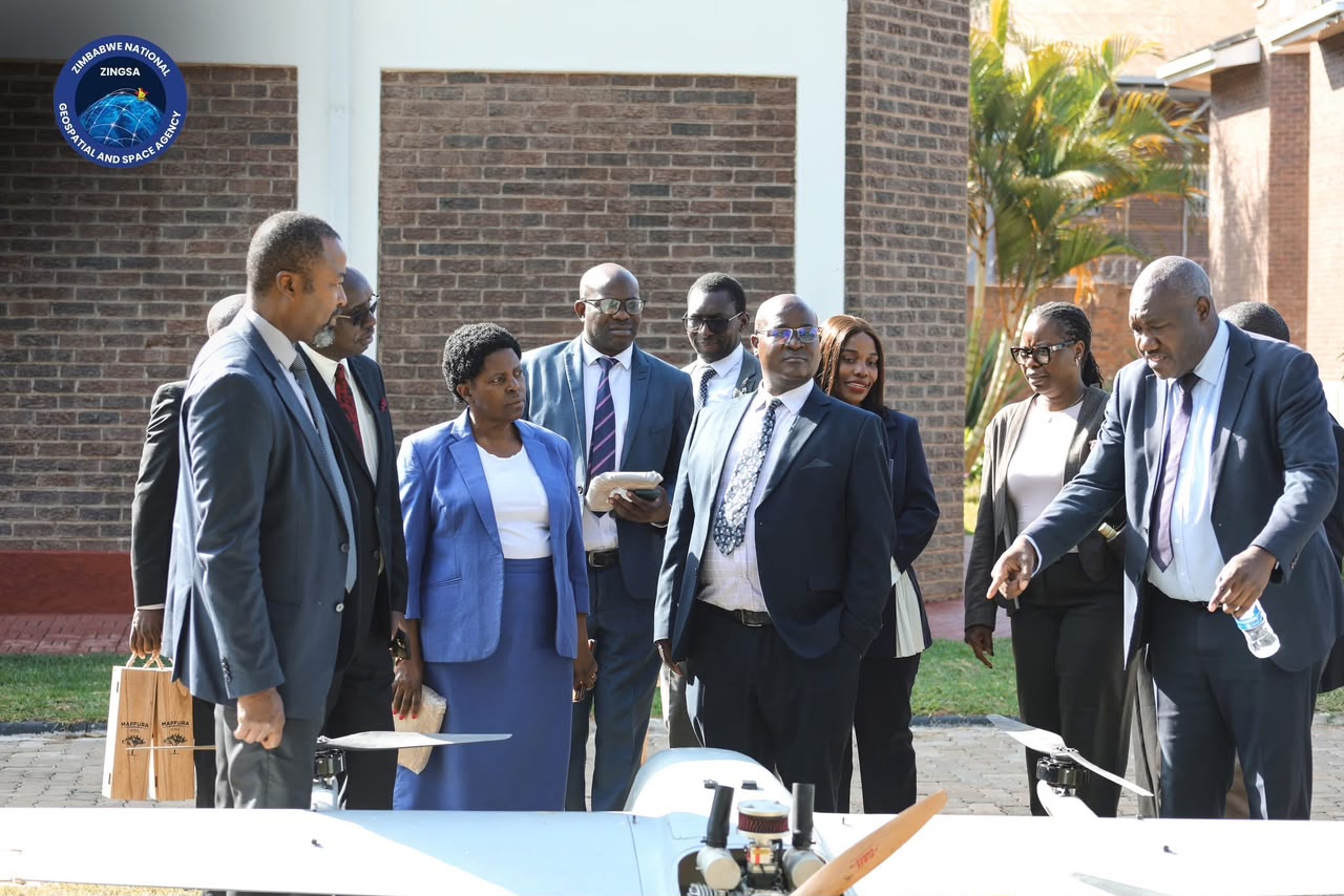
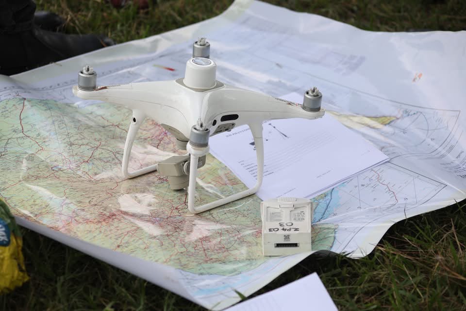
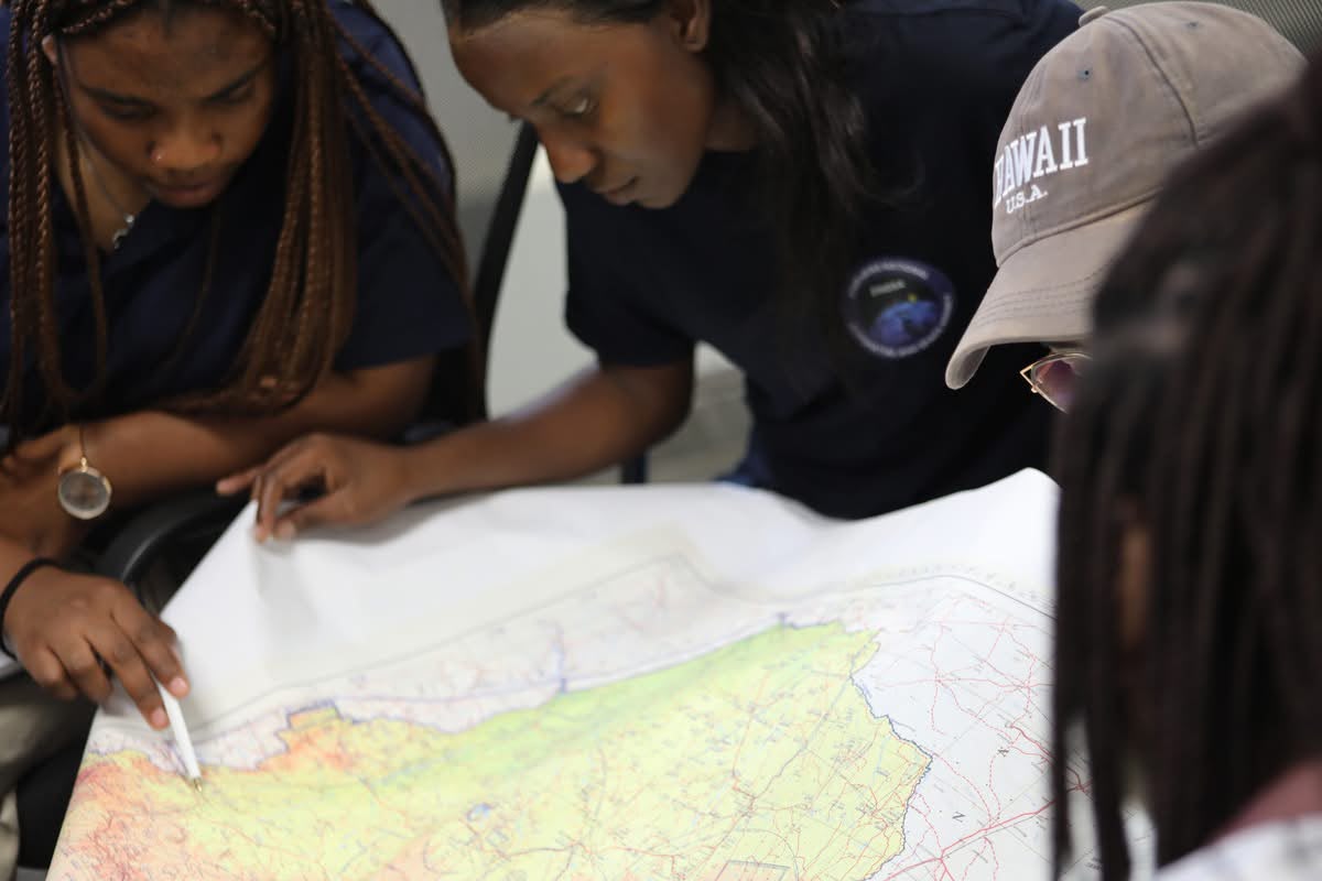
The mission is planned — flight path and coverage set against the field boundary before the drone leaves the ground.
Services
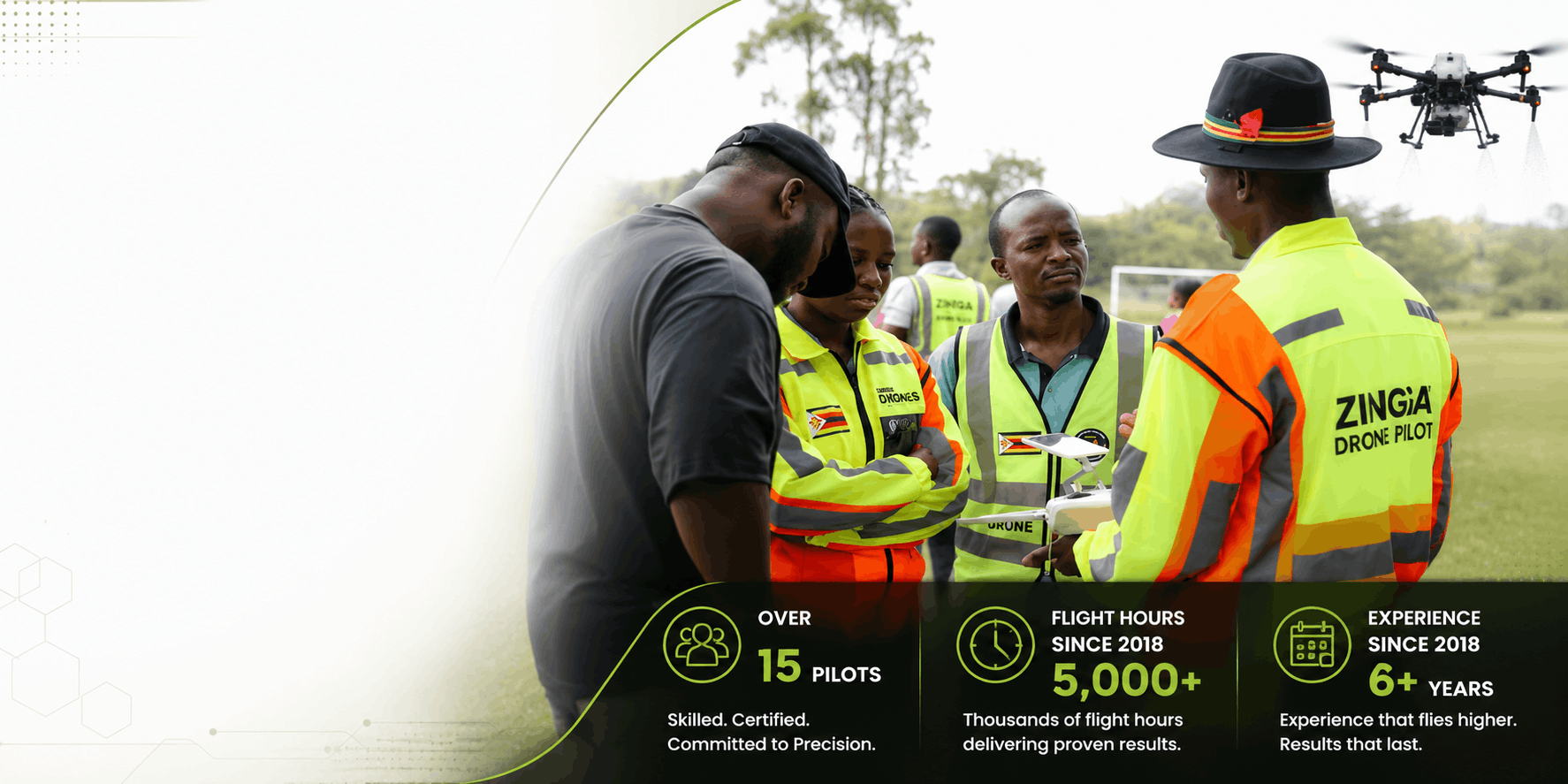
Drone agriculture, GNSS survey support, and Earth observation mapping — delivered by over 15 certified pilots with 5,000+ flight hours since 2018.
Agriculture
Farming season is here. Precision drone technology helps Zimbabwean farmers — commercial and small-scale — apply treatments accurately, protect yields, and cut waste, from flight planning through to spraying.
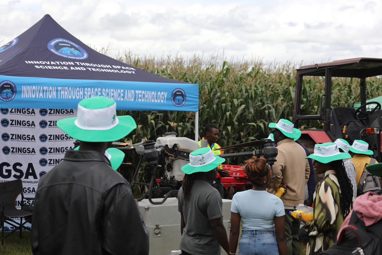

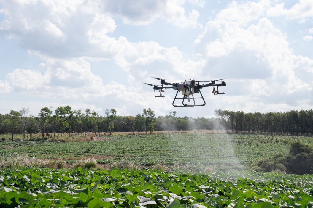
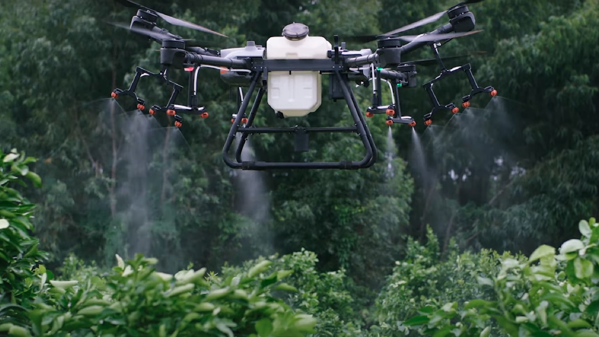
GPS-guided spraying reduces waste and ensures optimal crop coverage.
Cover large fields quickly — up to 50 hectares per day.
Reduce operational costs while improving crop health and yields.
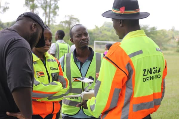
Certified operators with extensive precision agriculture experience — trained through ZINGSA’s GIS and drone operations courses.
Human capital development
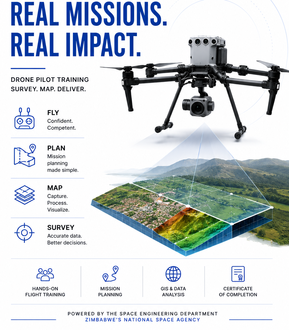
Drone training that powers the field.ZINGSA’s GIS courses include certified drone pilot training, flight planning, and precision agriculture operations — the same skills behind every service we deliver.
How it works
Precision, efficiency, and safety — from flight planning to spraying, empowering productivity in every field.
The mission is planned — flight path and coverage set against the field boundary before the drone leaves the ground.
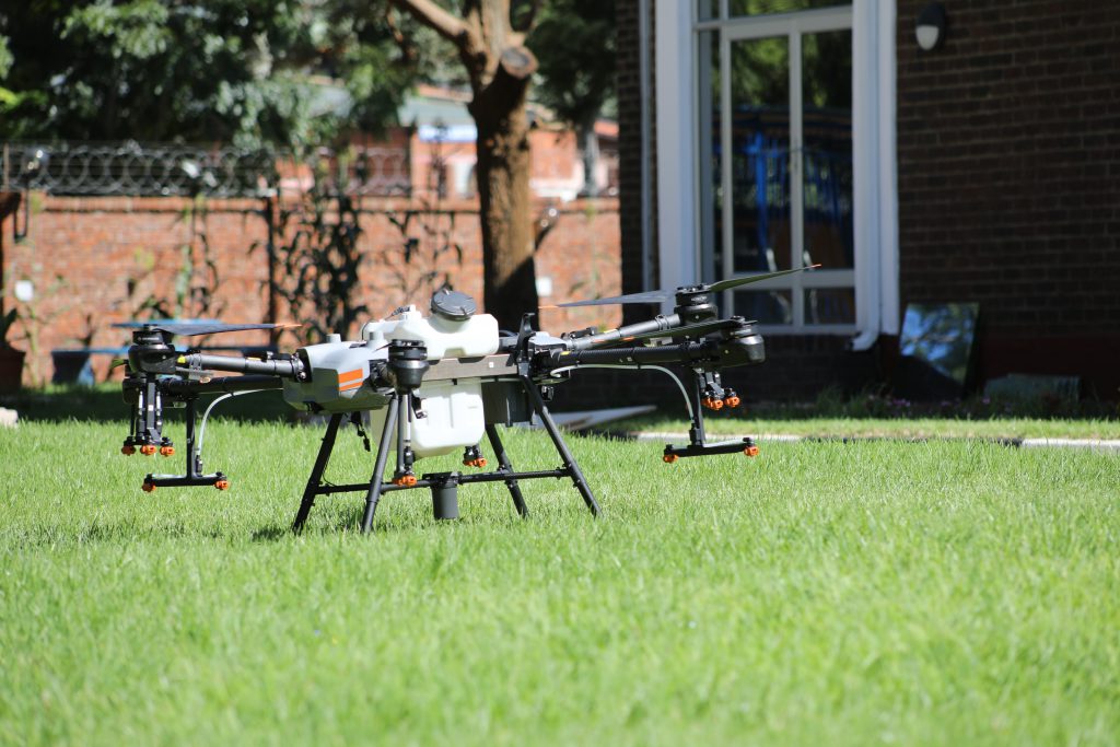
The drone is prepared and filled with the right solution and dosage for the crop and treatment.
The drone executes precise, GPS-guided spraying for maximum, even coverage across the field.
Missions are powered by the ZINGSA drone fleet, scaled to the size of the field and the season’s demand.
Performance is monitored and data analysed to optimise coverage and inputs on future missions.
Who benefits
Better crop coverage and healthier yields support national food security, reduce chemical drift into water and soil, and protect farmers and surrounding communities.
Cover up to 50 hectares a day, cut labour and input costs, and use monitoring data to plan and optimise the next season’s spraying.
Access precision spraying without owning or maintaining a drone — book a certified ZINGSA operator for a single field or a full season.
Survey & GNSS
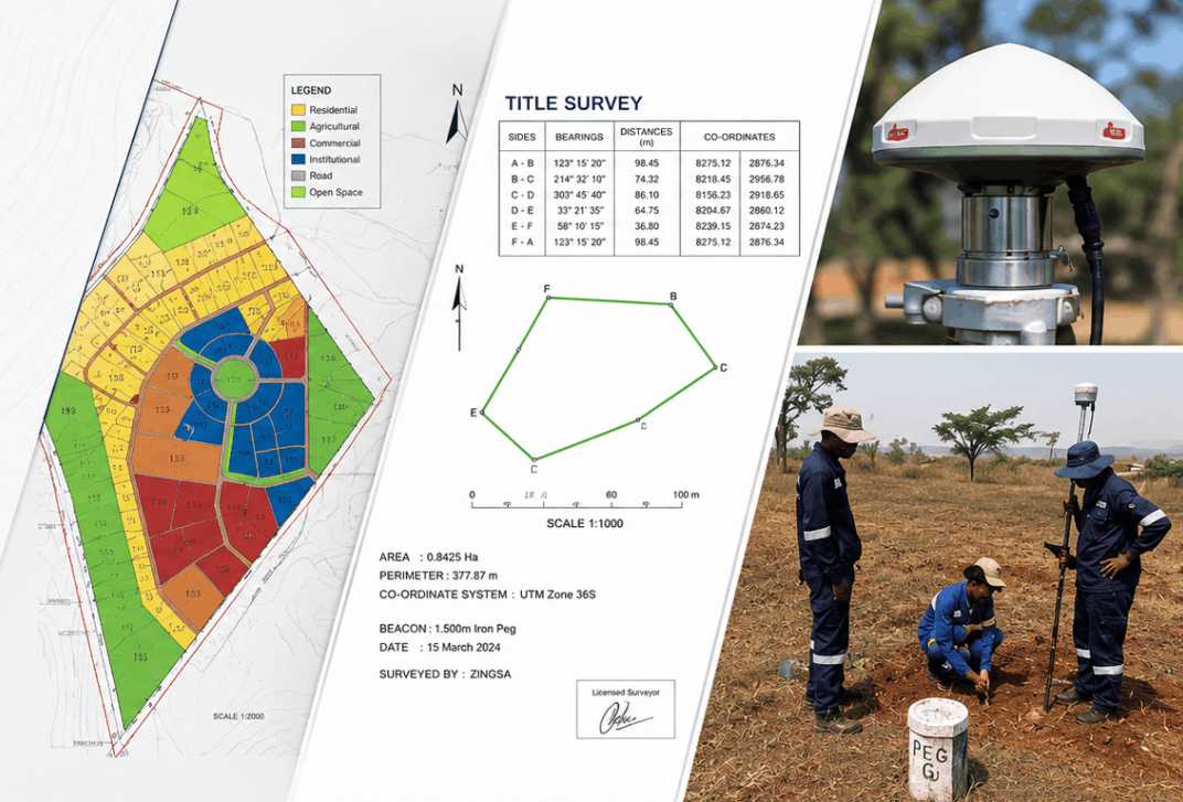
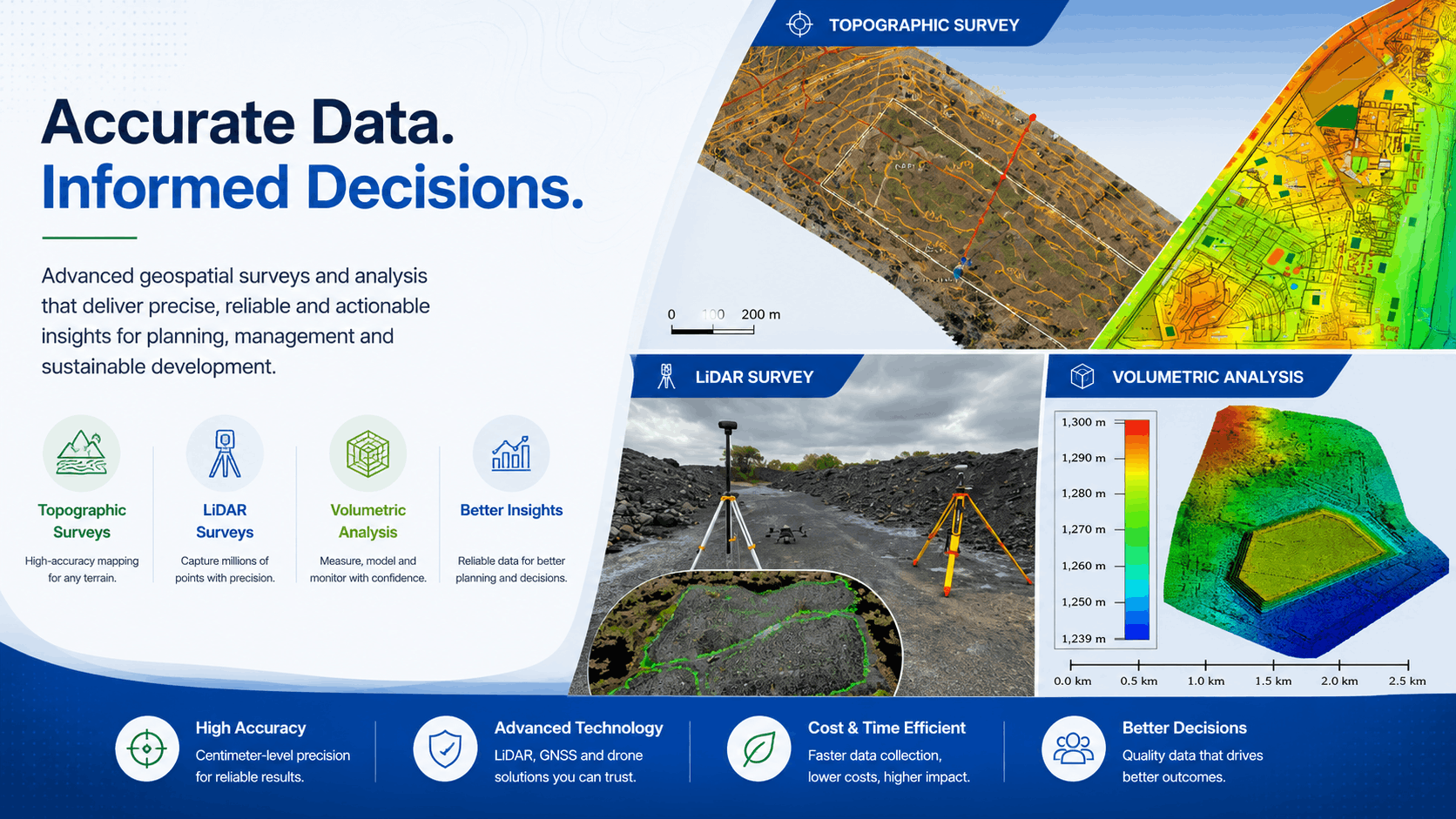
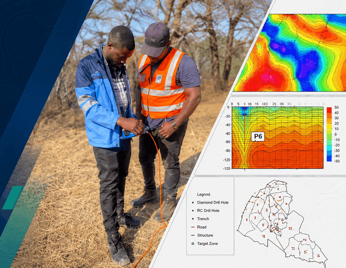
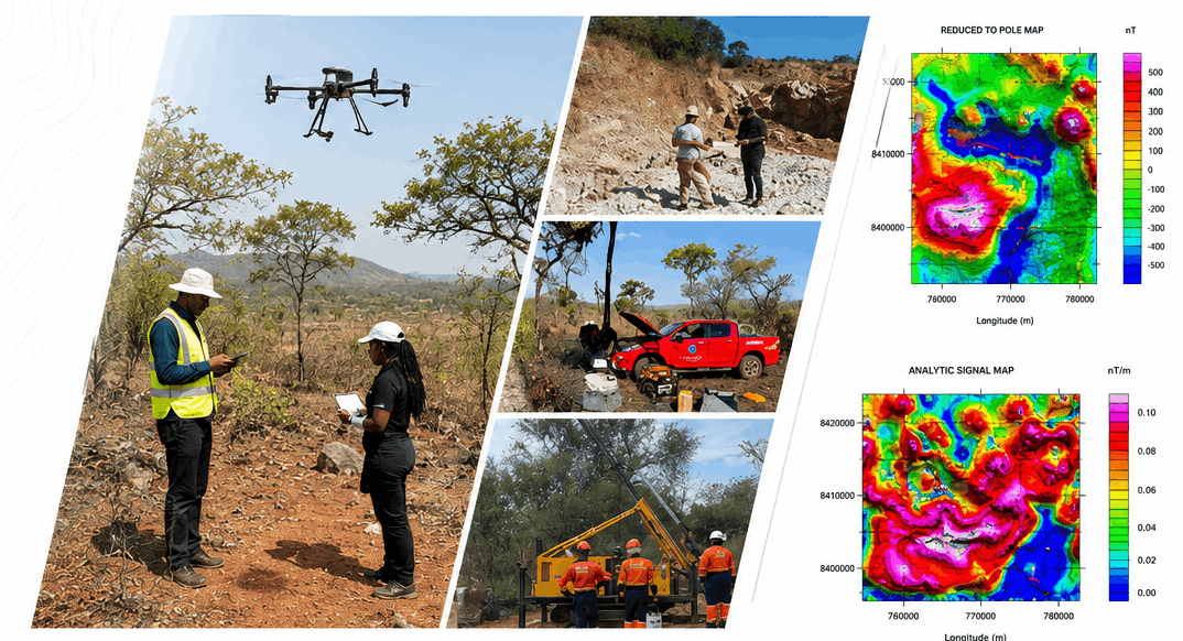
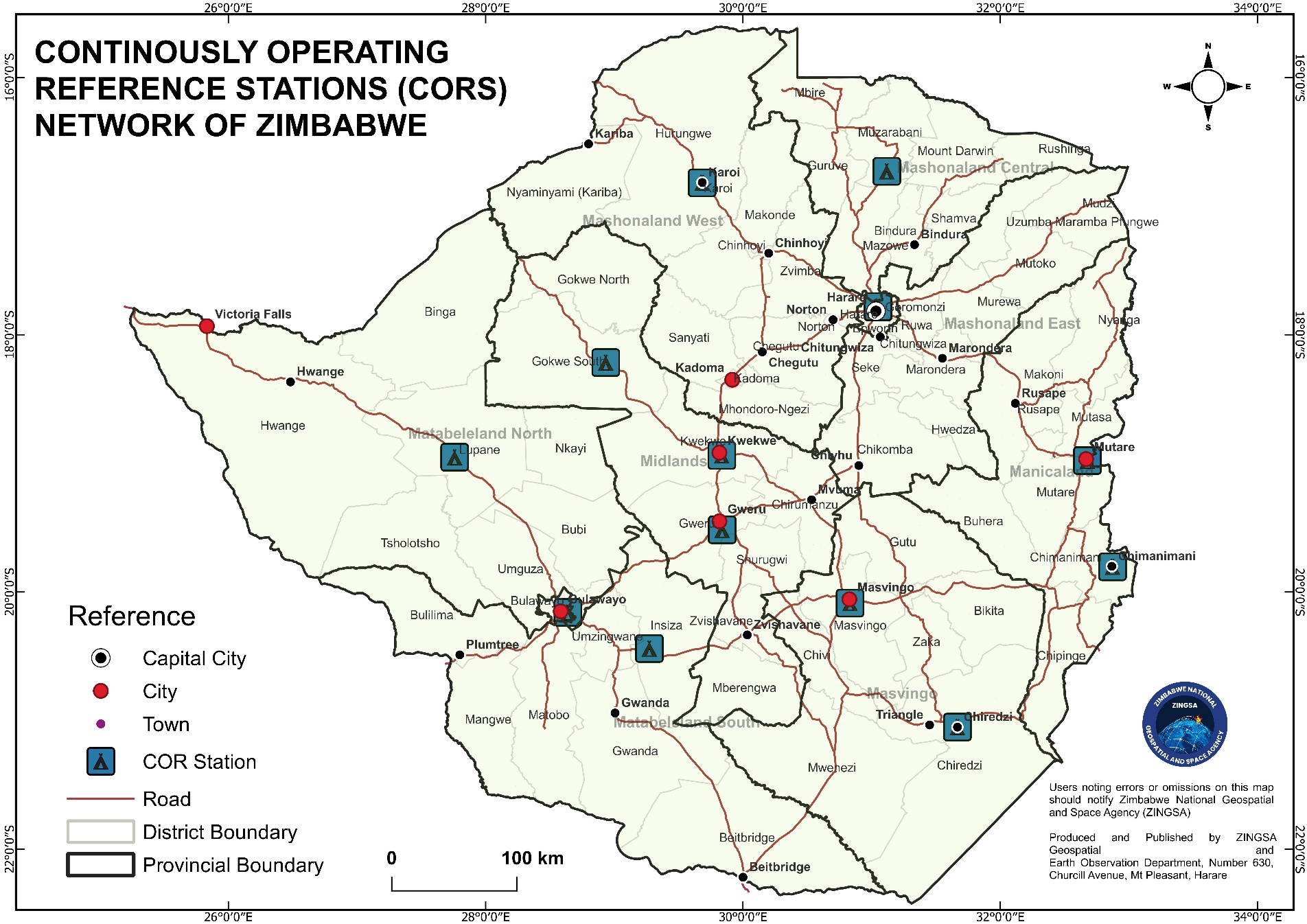
CORS-backed GNSS positioning for cadastral work, title surveys, engineering layouts, mining, and geophysical research — accurate real-time reference across Zimbabwe.
Satellite imagery acquisition, processing, and geospatial products for planning, agriculture, environment, and disaster assessment.
Speak with our team to schedule drone spraying or request geospatial support for your project.