Standards
Common frameworks for collecting, describing, and exchanging spatial datasets across institutions.
Infrastructure
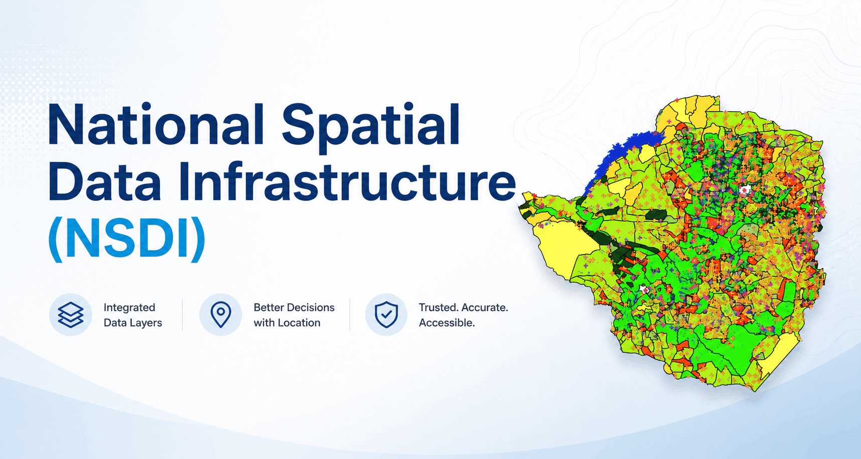
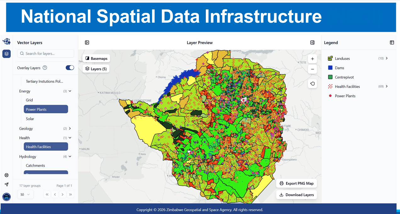
The National Spatial Data Infrastructure standardises and integrates spatial data across sectors — so government, industry, and researchers can plan with shared, trusted geospatial intelligence.
Capabilities
Common frameworks for collecting, describing, and exchanging spatial datasets across institutions.
Connecting sector data — agriculture, environment, infrastructure, and urban planning — into a coherent national picture.
Improving discoverability and responsible use of geospatial information for decision-makers and the public.
ZINGSA’s role
As part of its mandate, ZINGSA advances NSDI development alongside Earth observation services, mapping programmes, and the CORS network — building the data foundations for national planning.
From wetlands and agro-ecological mapping to positioning infrastructure, NSDI work helps Zimbabwe use space-derived and ground-based geospatial data more effectively.