HoursMon–Fri, 8am–4pm
Contact Us

Earth observation

Applications

Satellite imagery, drones, and geospatial intelligence applied where Zimbabwe needs them most — food security, environment, disasters, minerals, and national planning.

Geospatial analytics supporting national development
Space-derived insight informing decisions on the ground.
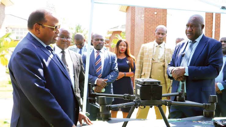
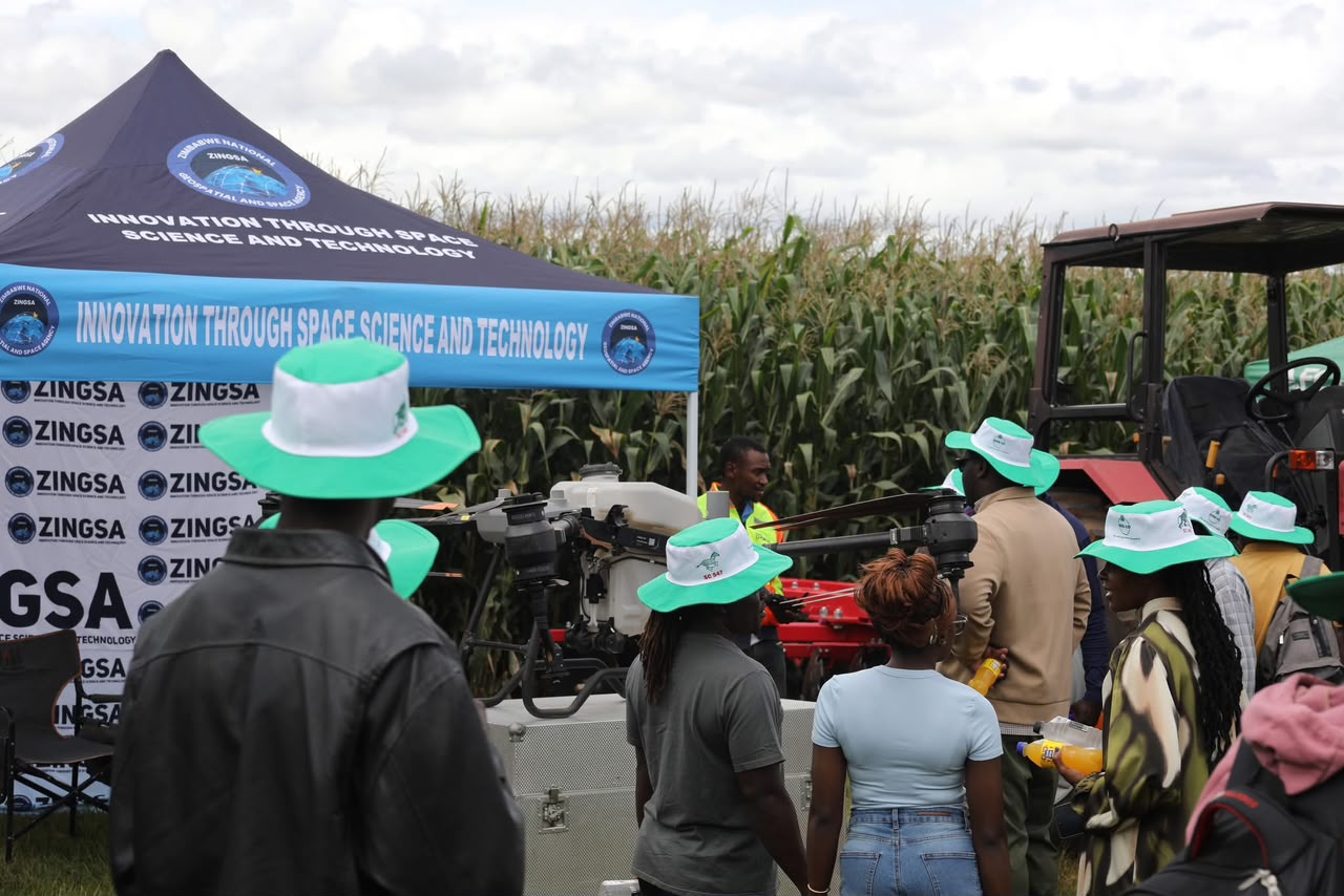
ZINGSA drone field day: farmers observing precision agriculture technology in the field
ZINGSA bringing drone technology directly to farmers — precision agriculture in action across Zimbabwe.
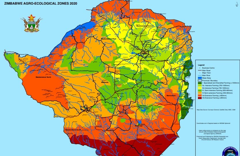
Zimbabwe agro-ecological zones map

Food security

Agriculture & precision farming

ZINGSA revised Zimbabwe’s Agro-Ecological Zones using satellite data so planners and farmers can match crops, inputs, and seasons to local conditions. Earth observation also supports yield estimation, crop health assessment, and soil-moisture insight.

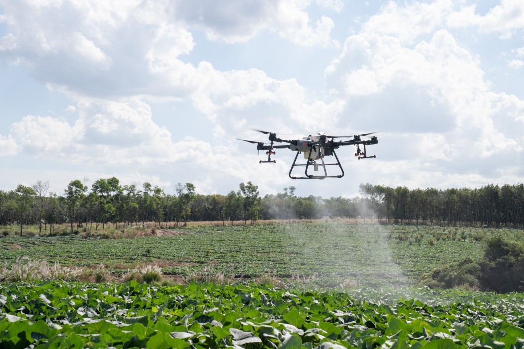
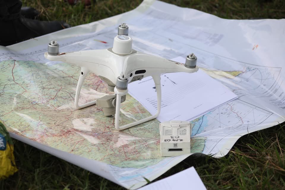
Precision agriculture services — including GPS-guided drone crop spraying — help farmers apply treatments more efficiently and reduce waste, from large commercial operations to small-scale fields.

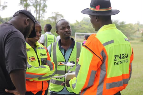
Farmers observing ZINGSA drone demonstration Crop spraying service ZINGSA drone pilots coordinating field operations ZINGSA drone demonstration Precision agriculture drone
Zimbabwe wetlands map

Environment

Wetlands & land stewardship

Through satellite-based mapping, ZINGSA delivered the Zimbabwe Wetlands Master Plan 2021 — a national picture of wetland extent and condition to support conservation and sustainable development.

Ongoing Earth observation work also tracks land degradation and environmental change, feeding into the National Spatial Data Infrastructure.

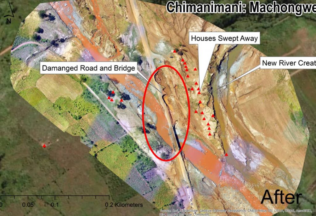
Disaster assessment drone

Resilience

Disaster management

Floods, drought, and veld fires threaten communities and livelihoods. ZINGSA applies remote sensing and UAV assessment to detect hazards, support response planning, and inform recovery.

Satellite drought monitoring from missions such as ZIMSAT-1 complements ground and aerial observation for national early awareness.

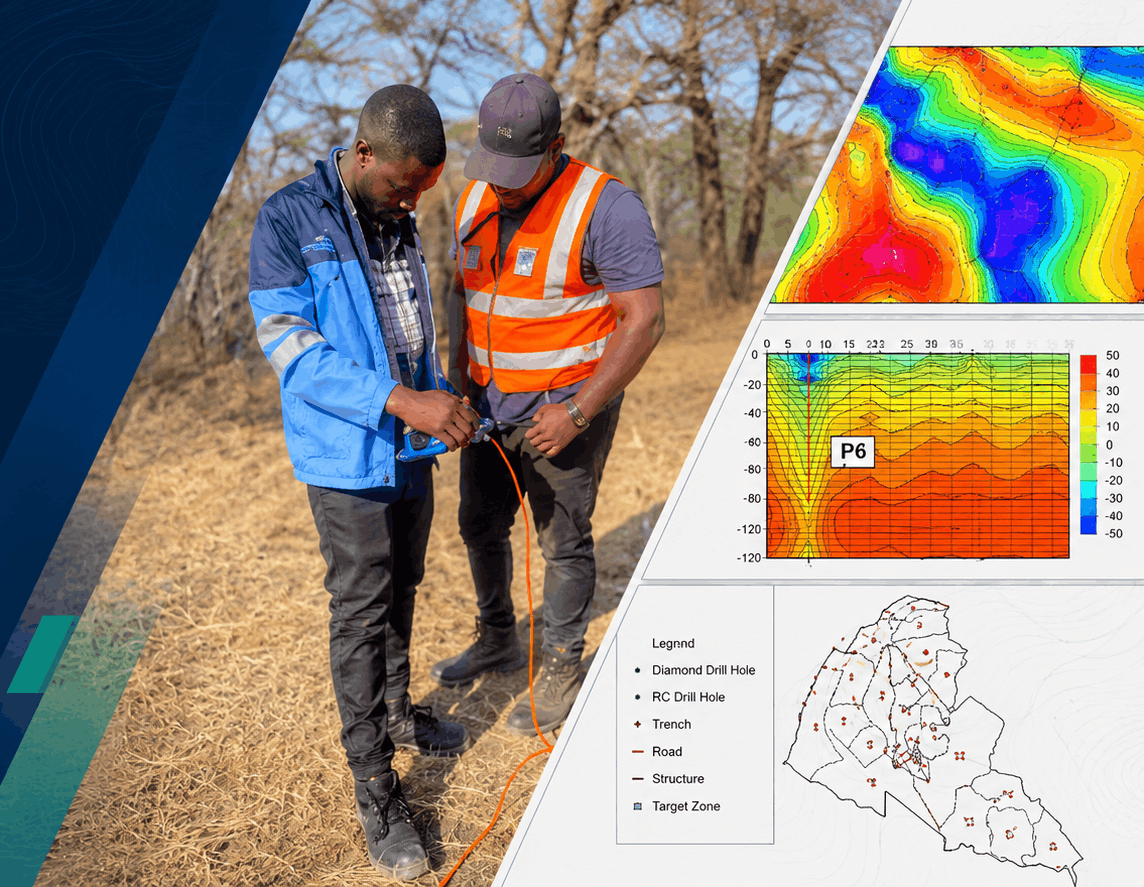
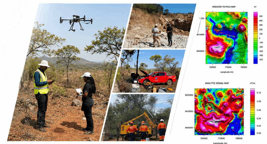
Mineral exploration survey and geospatial analysis

Resources

Mining & mineral exploration

Geospatial intelligence supports mineral exploration, activity mapping, and environmental compliance around mining operations. Accurate positioning through the CORS network underpins survey work in the field.

From first identifying a target to confirming what lies beneath the surface, ZINGSA’s Earth observation and survey capability supports every stage of the exploration pipeline — reducing guesswork and helping explorers and regulators work from the same geospatial picture.

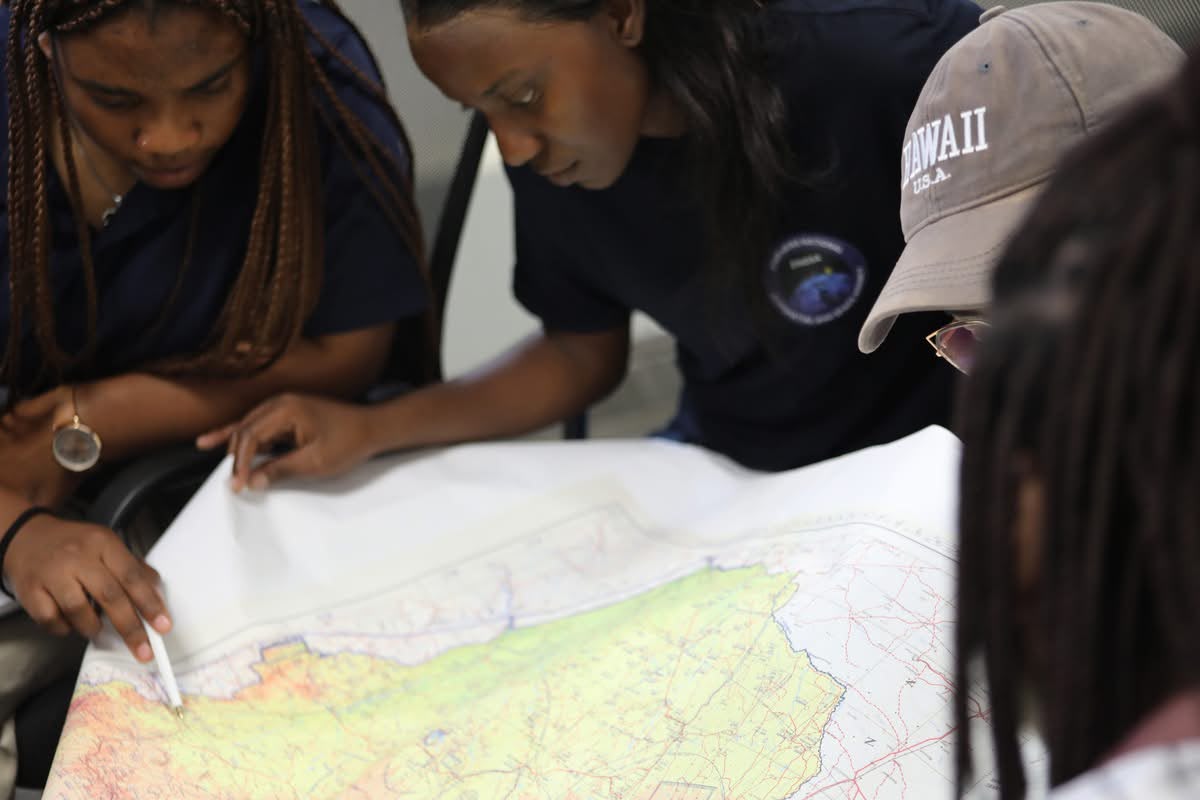
ZINGSA field teams supporting mineral survey operations Survey drone with topographic mapping for title and field survey work Geospatial analysts reviewing survey mapping data

How exploration works

Stages of mineral exploration

Mineral exploration moves from a wide, space-derived view of the land down to physical evidence in the ground — four stages where ZINGSA’s geospatial and Earth observation capability adds accuracy at every step.

The exploration pipeline, from desktop targeting to core analysis — select the diagram to view it full-size.

Geological mapping & target identification

Existing geological maps, historical records, and satellite imagery are combined to identify structures and formations likely to host mineral deposits, narrowing the search area before any fieldwork begins.

Remote sensing & geophysical surveys

Satellite and aerial imagery, together with geophysical survey techniques, refine the targets identified on the map — revealing alteration zones, structural trends, and anomalies worth investigating on the ground.

Exploratory drilling

Accurate, CORS-backed positioning guides drilling crews to the precise coordinates identified during remote sensing, so drill holes test the target efficiently and results can be tied back to the geospatial model.

Core sampling & analysis

Drill core is logged, sampled, and analysed to confirm mineral content and grade — the ground-truth data that validates the exploration model and informs decisions on further investment.

National planning with geospatial data

Development

Urban & national planning

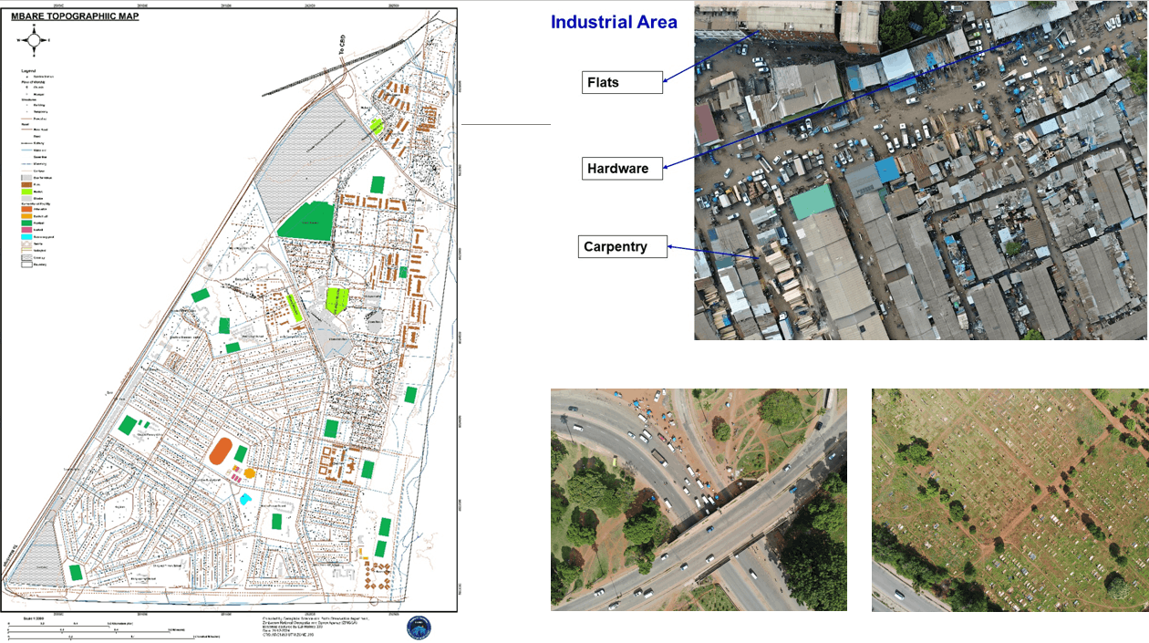
Shared spatial data helps government and partners plan infrastructure, land use, and urban growth with a common geographic foundation. NSDI standards and ZINGSA mapping products strengthen that national picture.

Go deeper

Programs, services, and data infrastructure

Explore the missions and services behind these applications — or talk to our team about partnership and bookings.