
HoursMon–Fri, 8am–4pm
Contact Us

Organisation

Divisions

Five specialised teams — engineering, observation, operations, science, and administration — delivering ZINGSA’s national mandate as one agency.

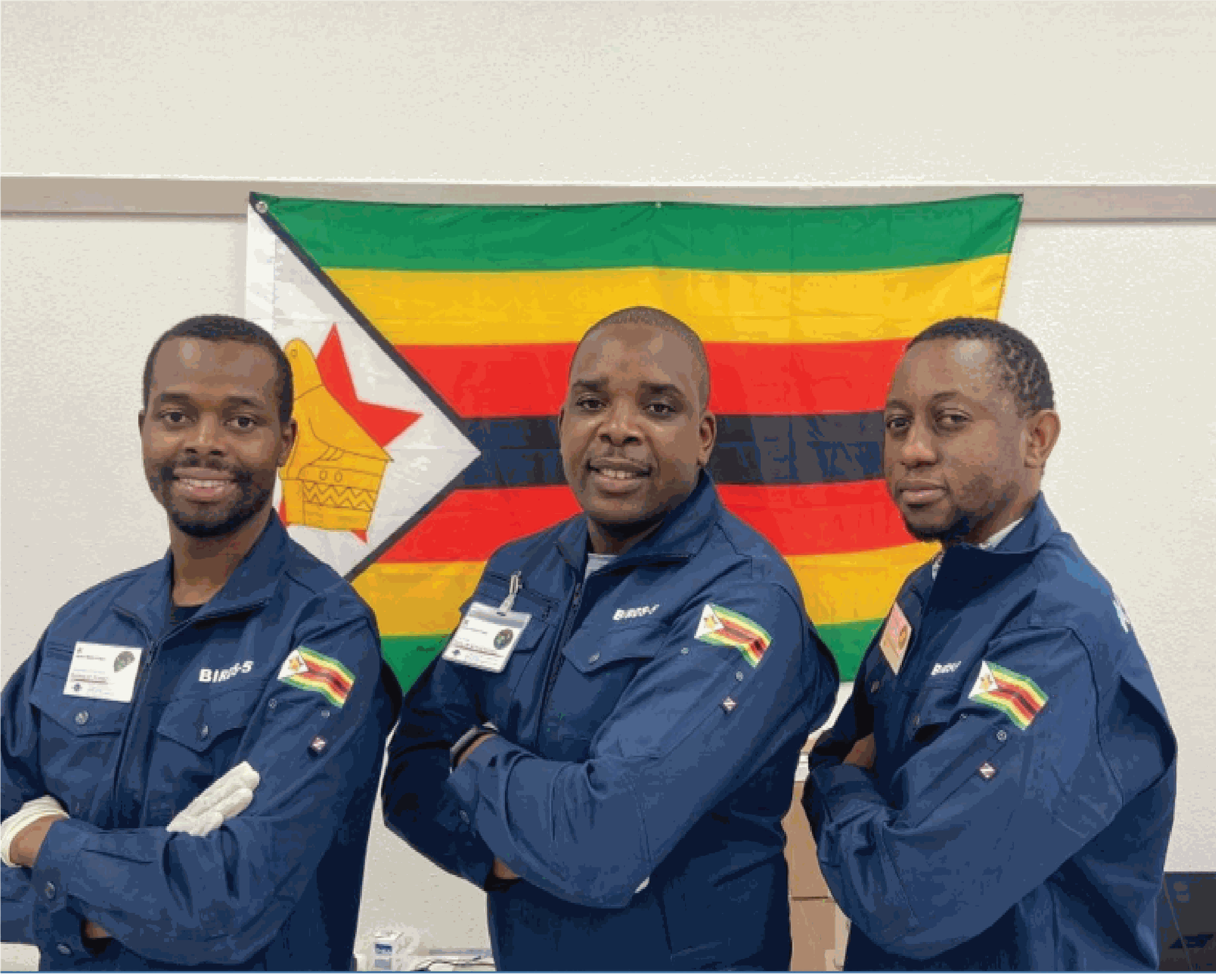
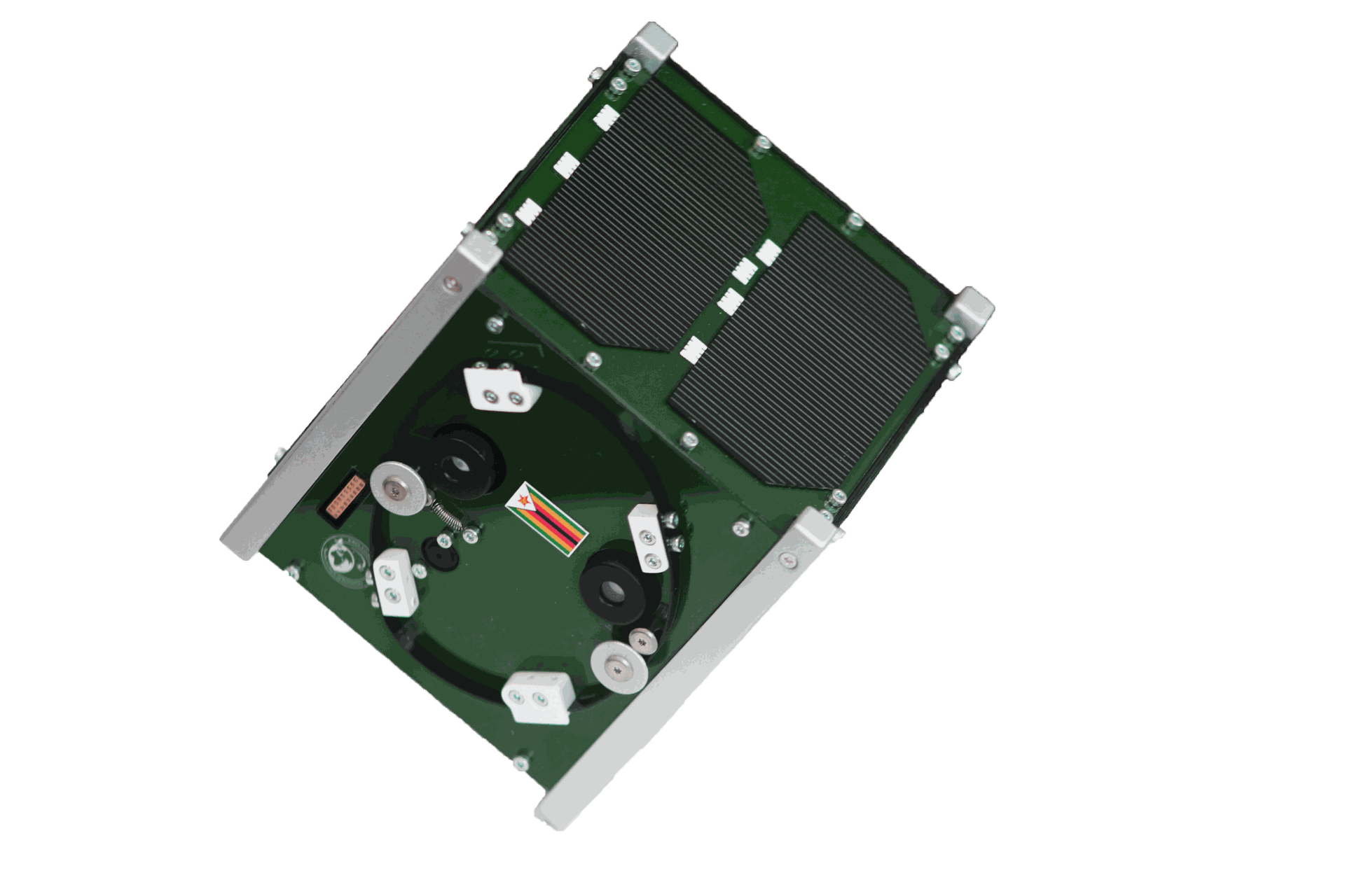
ZIMSAT-1 CubeSat with Zimbabwe flag

01 — Engineering

Space Engineering

Engineering advice and innovation from concept to flight — building satellites, UAVs, and ground systems, and developing the scientists and engineers who advance Zimbabwe’s space capability.

Focus areas

  • CubeSat and small-satellite design, assembly, and testing
  • UAV platforms for agriculture, mapping, and disaster assessment
  • Mechanical, electrical, aerospace, and systems engineering
  • Rapid prototyping, 3D printing, and advanced manufacturing

Human capital development

Structured courses in CubeSat development, CNC machining, 3D printing, and drone operations — including international programmes such as the Egyptian Space Agency’s Introduction to Satellite Systems and Applications Course.
View Space Engineering courses →

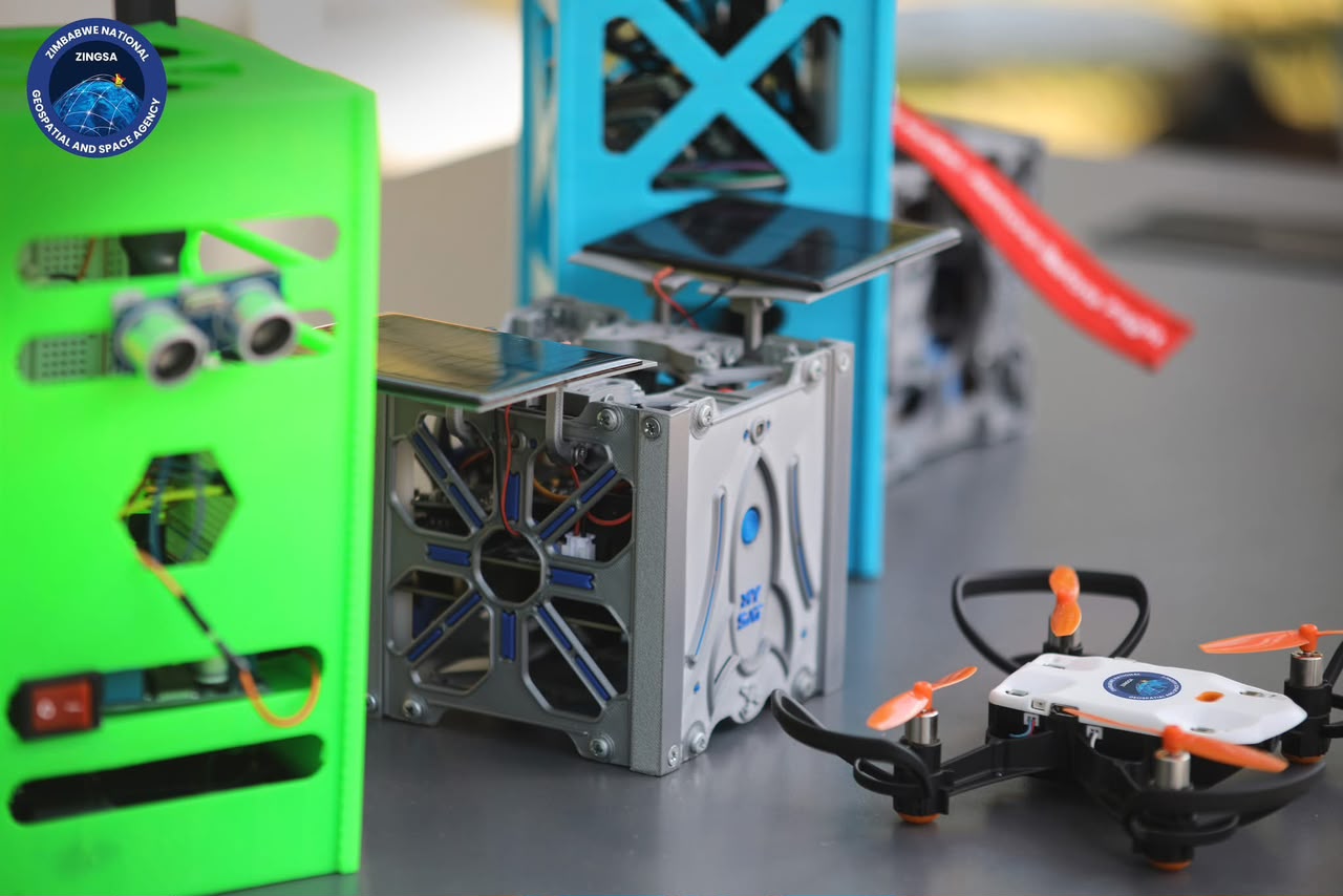
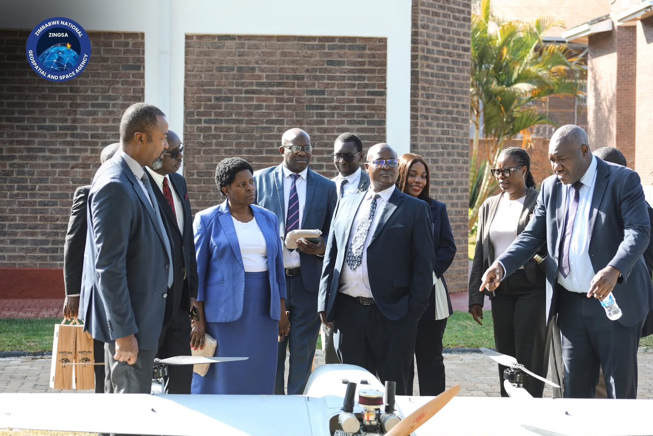
CubeSat prototypes and 3D-printed hardware Director General leading UAV demonstration
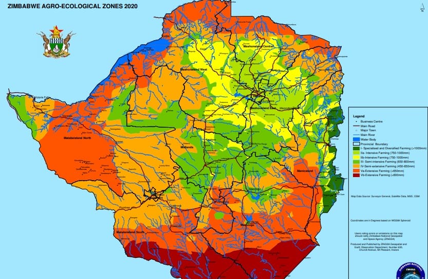
Zimbabwe Agro-Ecological Zones map produced by ZINGSA

02 — Observation

Geospatial & Earth Observation

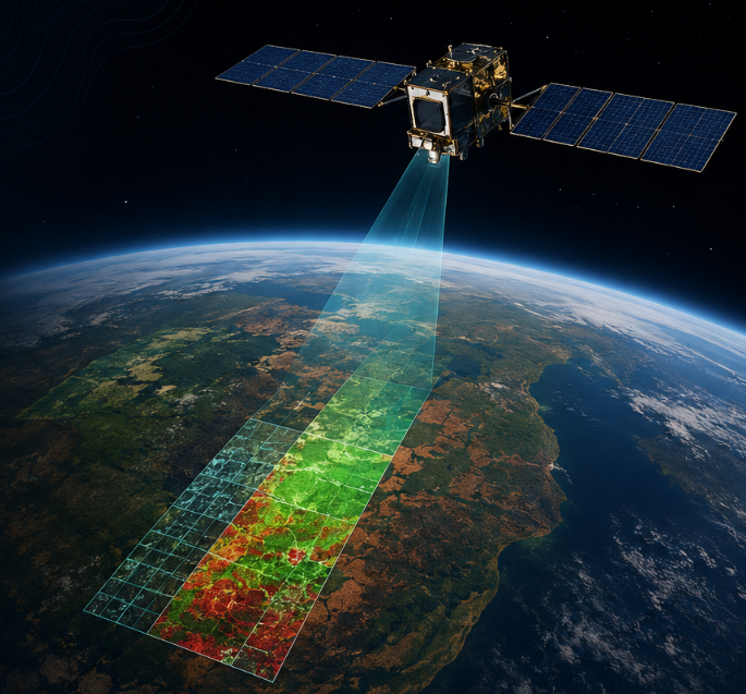
Satellite imagery, GIS, and national mapping that turn space data into decisions — for agriculture, environment, mining, disaster response, and urban planning.

What we deliver

  • Satellite imagery acquisition, processing, and dissemination
  • National mapping — wetlands, agro-ecological zones, and land use
  • Remote sensing for climate, resources, and environmental monitoring
  • Geospatial intelligence supporting NSDI and national planning

GIS training

Drone pilot training, remote sensing analysis, GIS mapping, and flight planning — building the analysts and field officers who turn imagery into insight.

View GIS courses →

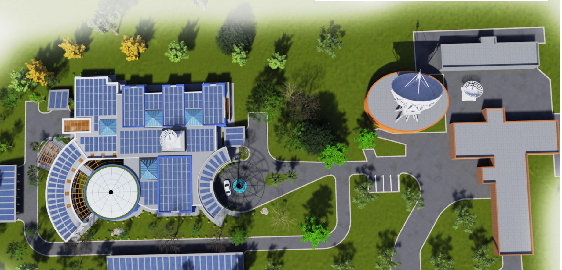
Mazowe Satellite Center with ground station infrastructure

03 — Operations

Space Operations & Launch

Mission preparation, satellite command and control, and ground-station operations — centred on the Mazowe Satellite Center and national communications infrastructure.

Core functions

  • Earth observation mission planning and implementation
  • Telemetry, tracking, and command of national satellites
  • Ground station operations and secure mission networks
  • Facilitating launch access and system integration
Space weather: solar activity, aurora, and ground observatories

04 — Science

Space Science

Research into space environments — space weather, ionospheric behaviour, and the effects of solar activity on GNSS, communications, and critical infrastructure.

Research themes

  • Space weather monitoring and forecasting for technology users
  • Ionospheric maps for Zimbabwe using GNSS techniques
  • Scintillation studies and model integration with national data
  • Education programmes that grow space science capacity
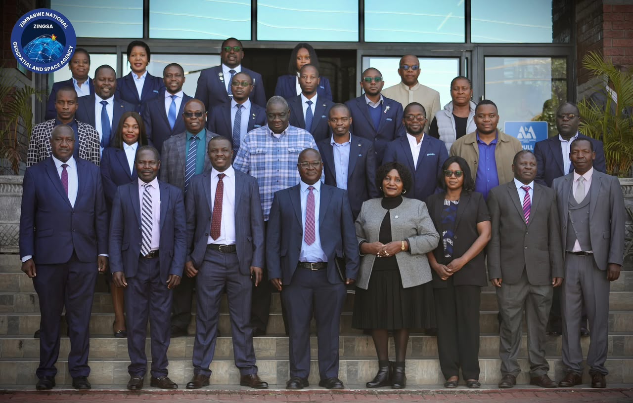
ZINGSA board and managers induction

05 — Administration

Governance & Administration

Finance, people, and strategy that keep ZINGSA focused on its mandate — sound budgets, capable teams, and policies that support research and delivery. ZINGSA now operates under an established board, holds a Data Controller Licence, and maintains licences from CAAZ and other regulators for lawful field operations.

How we support the agency

  • Strategic planning, budgeting, and financial compliance
  • Talent acquisition across science, engineering, and operations
  • Capacity development, performance, and knowledge management
  • Policy frameworks that enable programmes and partnerships