Surveys
LiDAR Surveys
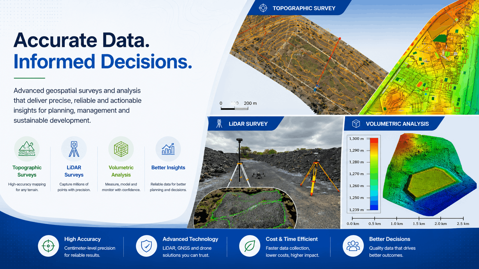
Drone and ground-based LiDAR capture dense point clouds for detailed 3D terrain models, vegetation analysis, and infrastructure mapping.
3D capture
LiDAR surveys that capture millions of points
Drone and ground-based LiDAR capture dense point clouds for detailed 3D terrain models, vegetation analysis, and infrastructure mapping.
Point cloudsMillions of elevation points for detailed 3D models.
Drone and groundFlexible capture from UAV platforms and terrestrial sensors.
InfrastructureMap corridors, sites, and assets with high spatial detail.