Surveys
GNSS & Geodetic Surveys
The ZINGSACORS network delivers accurate real-time GNSS correction for cadastral, engineering, mining, and geodetic surveys — the positio...
GNSS positioning
Real-time precision from the CORS network
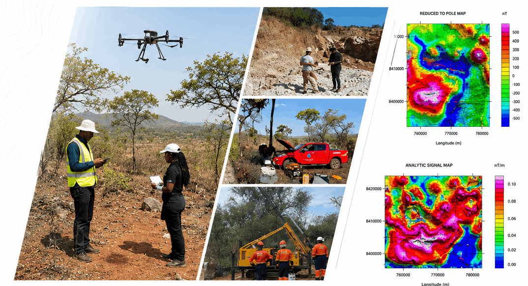
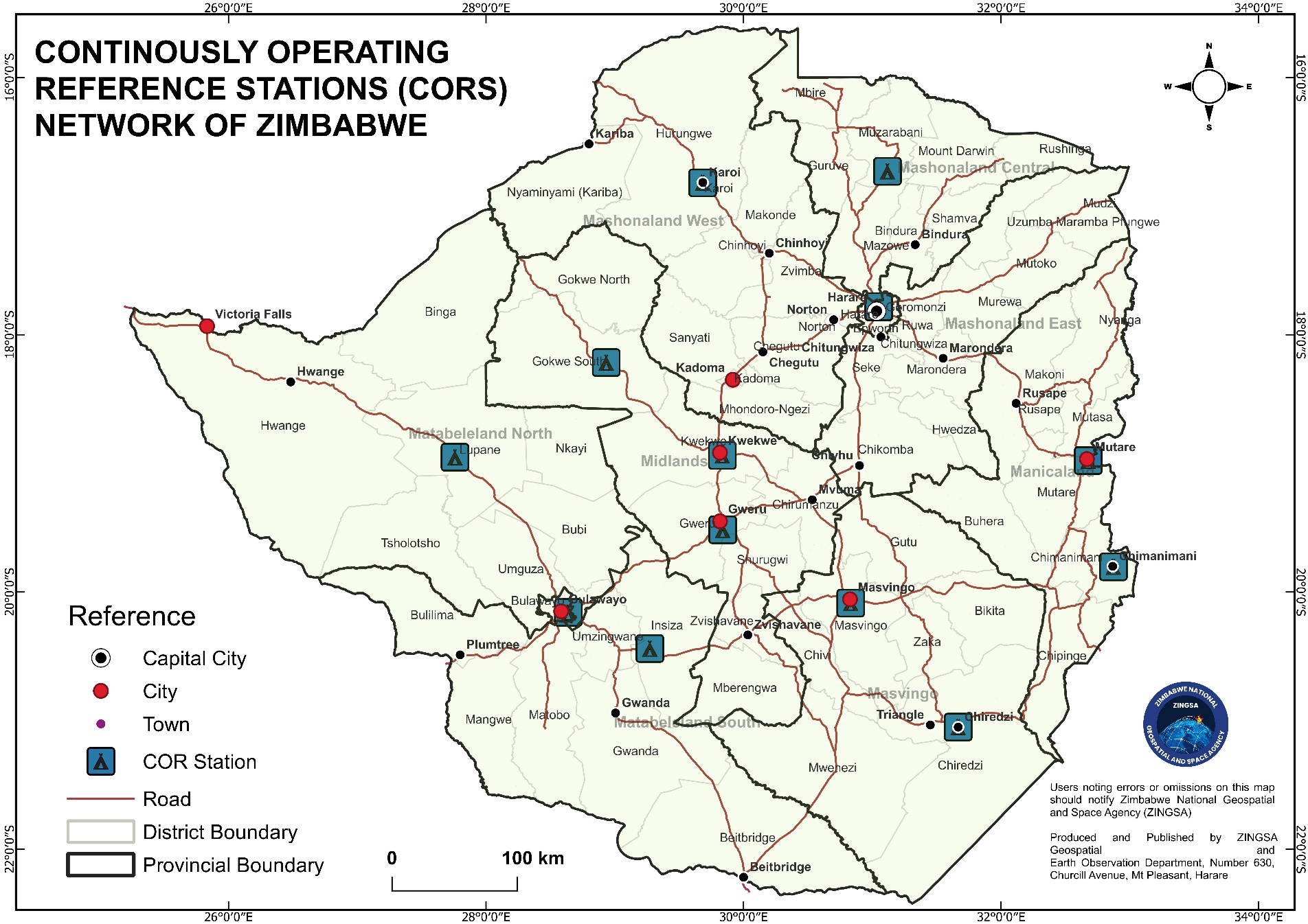
The ZINGSACORS network delivers accurate real-time GNSS correction for cadastral, engineering, mining, and geodetic surveys — the positioning backbone behind every ZINGSA survey service.
Real-time correctionRTK and network correction for field survey crews.
National coverageReference stations supporting surveys across Zimbabwe.
Multi-sector useLand, mining, agriculture, research, and infrastructure.